


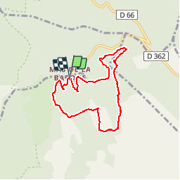

11,2 km | 14,8 km-effort


Gebruiker


Gratisgps-wandelapplicatie
 SityTrail
IGN / Geografische instituten
SityTrail World
De wereld gaat voor u open
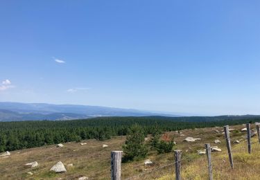
Tocht Stappen van 7,6 km beschikbaar op Occitanië, Lozère, Vialas. Deze tocht wordt voorgesteld door grageot.
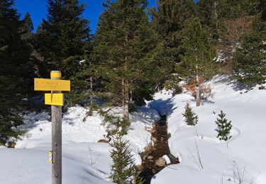
belle randonnée dans les bois.
La durée annoncée est du à la neige encore présente en ce 10 mars et qui ralentit la progression. Faisable en 2h30
Stappen
Stappen
Stappen

sport
sport

Stappen
Stappen
Stappen
Elektrische fiets