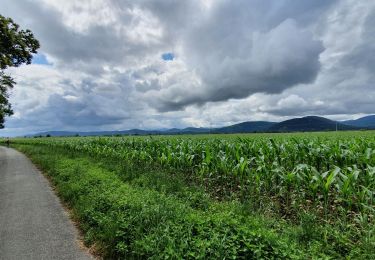
25 km | 30 km-effort
sortie dimanche
Nosaro
Gebruiker
Lengte
6,6 km
Max. hoogte
413 m
Positief hoogteverschil
50 m
Km-Effort
7,1 km
Min. hoogte
376 m
Negatief hoogteverschil
23 m
Boucle
Neen
Datum van aanmaak :
2024-02-18 10:23:08.704
Laatste wijziging :
2024-02-18 12:01:48.23
36m
Moeilijkheid : Gemakkelijk
Gratisgps-wandelapplicatie
Over ons
Tocht Wegfiets van 6,6 km beschikbaar op Occitanië, Haute-Garonne, Villeneuve-de-Rivière. Deze tocht wordt voorgesteld door Nosaro.
Plaatsbepaling
Land:
France
Regio :
Occitanië
Departement/Provincie :
Haute-Garonne
Gemeente :
Villeneuve-de-Rivière
Locatie:
Unknown
Vertrek:(Dec)
Vertrek:(UTM)
310882 ; 4776894 (31T) N.
Opmerkingen
Wandeltochten in de omgeving
Camon
Stappen
Gemakkelijk
Labarthe-Rivière,
Occitanië,
Haute-Garonne,
France
7,5 km | 8 km-effort
1h 40min
Ja
bout du puy
Stappen
Gemakkelijk
Valentine,
Occitanië,
Haute-Garonne,
France
4,3 km | 6,8 km-effort
1h 7min
Ja
bout du puy
Stappen
Gemakkelijk
Valentine,
Occitanië,
Haute-Garonne,
France
4,3 km | 6,8 km-effort
1h 7min
Ja
boucle au départ de Villeneuve de riviere
Wegfiets
Medium
Villeneuve-de-Rivière,
Occitanië,
Haute-Garonne,
France
61 km | 71 km-effort
3h 55min
Ja
boucle dans le Comminges
Wegfiets
Medium
Villeneuve-de-Rivière,
Occitanië,
Haute-Garonne,
France
68 km | 80 km-effort
3h 58min
Neen
boucle commingeoise
Wegfiets
Medium
Villeneuve-de-Rivière,
Occitanië,
Haute-Garonne,
France
61 km | 71 km-effort
3h 9min
Ja
cap de Rouzet en boucle depuis Martres de rivière
Stappen
Gemakkelijk
Martres-de-Rivière,
Occitanië,
Haute-Garonne,
France
11 km | 16,2 km-effort
3h 18min
Ja
2021-10-31_09h01m59_Cirkwi-Bordes_de_Rivière_Plaine__Les_canaux_d_irrigation_
sport
Heel gemakkelijk
Bordes-de-Rivière,
Occitanië,
Haute-Garonne,
France
3,6 km | 3,9 km-effort
Onbekend
Ja