


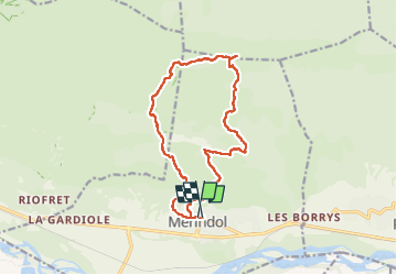

5,3 km | 6,1 km-effort


Gebruiker


Gratisgps-wandelapplicatie
 SityTrail
IGN / Geografische instituten
SityTrail World
De wereld gaat voor u open
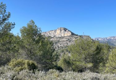
Tocht Stappen van 15,2 km beschikbaar op Provence-Alpes-Côte d'Azur, Vaucluse, Mérindol. Deze tocht wordt voorgesteld door Dessalien.
boucle ai départ de merindol jusque sur la crête du petit Lubéron, vie splendide, et retour par un ballon ensoleillé.
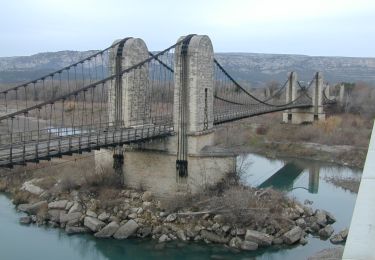
Stappen
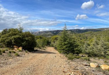
Stappen

Stappen
Stappen
Stappen
Stappen

Stappen
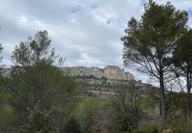
Stappen
Stappen