


6,1 km | 7,5 km-effort

Gebruiker


Gratisgps-wandelapplicatie
 SityTrail
IGN / Geografische instituten
SityTrail World
De wereld gaat voor u open
Tocht Mountainbike van 31 km beschikbaar op Grand Est, Vogezen, Dommartin-aux-Bois. Deze tocht wordt voorgesteld door elgatolopez.
Un petit conseil pour le retour, une fois à Thiélouze restez sur la route sinon vous passerez votre temps à porter le vélo ;)

Stappen

Stappen

Stappen
Mountainbike

Stappen
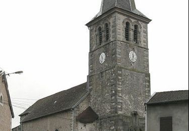
Stappen
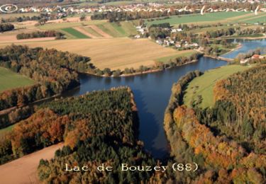
Stappen
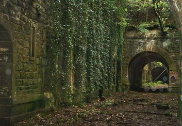
Stappen