


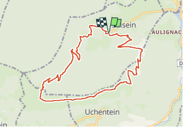

15 km | 26 km-effort


Gebruiker


Gratisgps-wandelapplicatie
 SityTrail
IGN / Geografische instituten
SityTrail World
De wereld gaat voor u open
Tocht Stappen van 11,7 km beschikbaar op Occitanië, Ariège, Salsein. Deze tocht wordt voorgesteld door chrisgps.
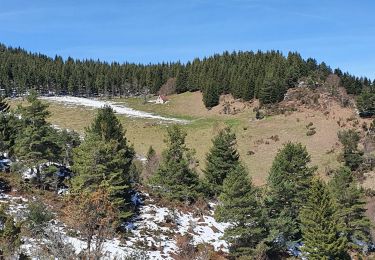
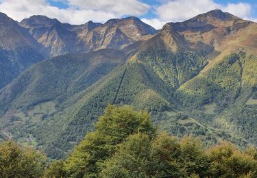
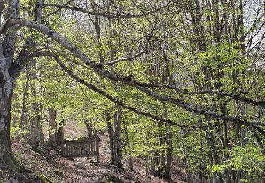
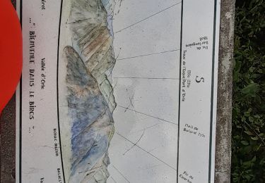
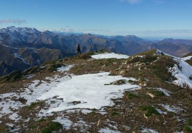
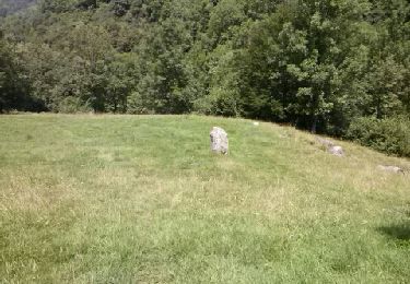
belle boucle (N°15) et beau sentier en balcon après le Mail Blanc Et pour ceux qui en veulent plus (300m), monter au Pic en 1h environ pour un super panorama


Stappen

Stappen
Stappen
Stappen
Stappen
Stappen
Stappen
Stappen
Stappen