


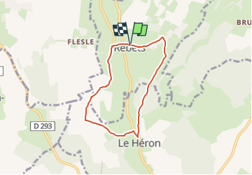

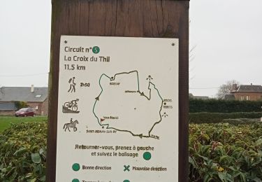
7,5 km | 9,2 km-effort


Gebruiker


Gratisgps-wandelapplicatie
 SityTrail
IGN / Geografische instituten
SityTrail World
De wereld gaat voor u open
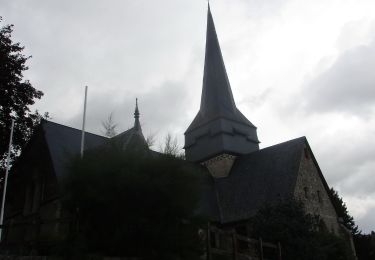
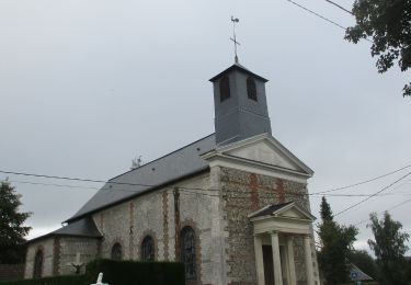
Tocht van 5,5 km beschikbaar op Normandië, Seine-Maritime, Rebets. Deze tocht wordt voorgesteld door MichelRando7656.
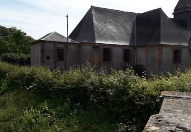
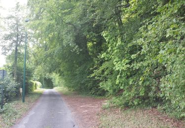
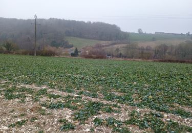
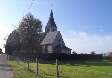
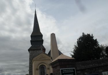
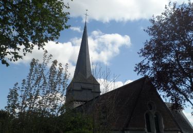
Avant de partir, admirez le porche en pierre de l'église de Rebets. En chemin, vous apprécierez les panoramas sur la rivière l'Héronchelles et découvrirez la richesse de la faune et de la flore de cette vallée, où les hérons sont rois.
Stappen
Stappen
Stappen
Stappen
Stappen
Stappen
Stappen
Stappen
Stappen