7,9 km | 9,3 km-effort
Saint Pierre de Conils
tercla
Gebruiker
Lengte
13,1 km
Max. hoogte
292 m
Positief hoogteverschil
197 m
Km-Effort
15,7 km
Min. hoogte
208 m
Negatief hoogteverschil
197 m
Boucle
Ja
Datum van aanmaak :
2024-02-05 13:10:03.684
Laatste wijziging :
2024-02-05 13:12:15.196
3h34
Moeilijkheid : Gemakkelijk
Gratisgps-wandelapplicatie
Over ons
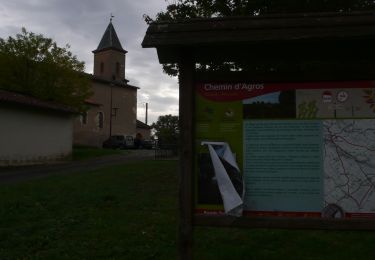
Tocht Te voet van 13,1 km beschikbaar op Occitanië, Tarn, Lombers. Deze tocht wordt voorgesteld door tercla.
Beschrijving
Commune de Poulan Pouzols
Plaatsbepaling
Land:
France
Regio :
Occitanië
Departement/Provincie :
Tarn
Gemeente :
Lombers
Locatie:
Unknown
Vertrek:(Dec)
Vertrek:(UTM)
430346 ; 4853842 (31T) N.
Opmerkingen
Wandeltochten in de omgeving
SityTrail - 3061378 - orban-chemin-des-cretes
Stappen
Medium
Orban,
Occitanië,
Tarn,
France
5,9 km | 7,5 km-effort
1h 42min
Ja
boucle de Sieurac
Stappen
Heel gemakkelijk
Sieurac,
Occitanië,
Tarn,
France
7,5 km | 8,8 km-effort
3h 29min
Ja
Sentier des Panoramas court
Stappen
Gemakkelijk
Puygouzon,
Occitanië,
Tarn,
France
8 km | 10,2 km-effort
1h 50min
Ja
Wikiloc - Sieurac Laboutarie chemin des terres blanches
Stappen
Medium
Sieurac,
Occitanië,
Tarn,
France
14,6 km | 17,2 km-effort
3h 0min
Ja
Terres Blanches Sieurac
Stappen
Medium
(1)
Sieurac,
Occitanië,
Tarn,
France
6,9 km | 8,1 km-effort
2h 10min
Ja
Pouzols
Stappen
Moeilijk
Poulan-Pouzols,
Occitanië,
Tarn,
France
12,9 km | 15,4 km-effort
3h 29min
Ja
archeologue variante
Stappen
Moeilijk
Lombers,
Occitanië,
Tarn,
France
10,7 km | 12,8 km-effort
2h 16min
Ja