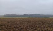

Villers-la-Ville

Mady Lambert
Gebruiker

Lengte
7,1 km

Max. hoogte
149 m

Positief hoogteverschil
115 m

Km-Effort
8,7 km

Min. hoogte
95 m

Negatief hoogteverschil
116 m
Boucle
Ja
Datum van aanmaak :
2024-02-04 11:58:10.303
Laatste wijziging :
2024-02-04 16:24:45.849
3h34
Moeilijkheid : Medium

Gratisgps-wandelapplicatie
Over ons
Tocht Stappen van 7,1 km beschikbaar op Wallonië, Waals-Brabant, Villers-la-Ville. Deze tocht wordt voorgesteld door Mady Lambert.
Beschrijving
Départ par la porte de Namur, retour par la porte de Bruxelles.
Grands parkings.
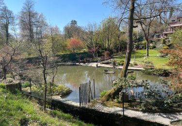
Très bonnes bottines de marche, terrain accidenté et boueux, peu de routes, beaucoup de liberté pour les chiens.
Bois, champs, ruisseaux.
Superbe balade.
Plaatsbepaling
Land:
Belgium
Regio :
Wallonië
Departement/Provincie :
Waals-Brabant
Gemeente :
Villers-la-Ville
Locatie:
Villers-la-Ville
Vertrek:(Dec)
Vertrek:(UTM)
608332 ; 5605222 (31U) N.
Opmerkingen
Wandeltochten in de omgeving
RB-Bw-10-raccourci 2 - À travers campagnes et forêts, autour des ruines d’une...


Stappen
Moeilijk
(26)
Villers-la-Ville,
Wallonië,
Waals-Brabant,
Belgium

13,3 km | 16,4 km-effort
3h 44min
Ja
RB-Bw-10-raccourci 1 - À travers campagnes et forêts, autour des ruines d’une...


Stappen
Zeer moeilijk
(13)
Villers-la-Ville,
Wallonië,
Waals-Brabant,
Belgium

24 km | 30 km-effort
6h 43min
Ja
RB-Bw-09 Raccourci 1 & 2 - Autour de la jeune Dyle et de ses affluents


Stappen
Moeilijk
(11)
Genepiën,
Wallonië,
Waals-Brabant,
Belgium

9,7 km | 12,5 km-effort
2h 50min
Ja
RB-Bw-09 Raccourci 1 - Autour de la jeune Dyle et de ses affluents


Stappen
Moeilijk
(11)
Genepiën,
Wallonië,
Waals-Brabant,
Belgium

13,2 km | 16,9 km-effort
3h 49min
Ja
RB-Bw-10 -À travers campagnes et forêts, autour des ruines d’une prestigieuse...


Stappen
Zeer moeilijk
(6)
Villers-la-Ville,
Wallonië,
Waals-Brabant,
Belgium

26 km | 32 km-effort
7h 15min
Ja
RB-Bw-09 - Autour de la jeune Dyle et de ses affluents


Stappen
Medium
(9)
Genepiën,
Wallonië,
Waals-Brabant,
Belgium

22 km | 28 km-effort
5h 59min
Ja

Genappe - Circuit Natura 2000, des sites qui valent le détour ! - Bw03


Stappen
Medium
(6)
Genepiën,
Wallonië,
Waals-Brabant,
Belgium

7,9 km | 9,7 km-effort
2h 6min
Ja
GG2-Bw-22_La-Roche-Blanmont_2021-11-04


Stappen
Medium
(2)
Court-Saint-Étienne,
Wallonië,
Waals-Brabant,
Belgium

21 km | 26 km-effort
5h 51min
Neen
Bérines


Stappen
Gemakkelijk
(1)
Villers-la-Ville,
Wallonië,
Waals-Brabant,
Belgium

6,4 km | 7,5 km-effort
1h 41min
Ja


 SityTrail


