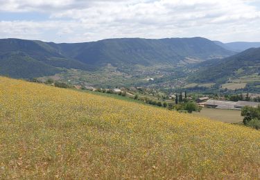
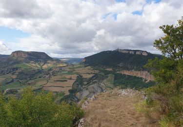
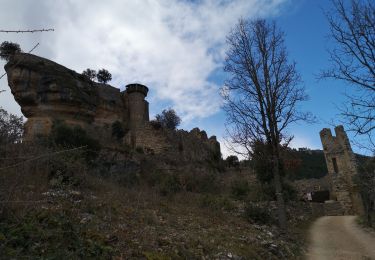
10,3 km | 13,8 km-effort
AGUESSAC 2
CASSISFRAMBOISE
Gebruiker
Lengte
14,7 km
Max. hoogte
865 m
Positief hoogteverschil
584 m
Km-Effort
22 km
Min. hoogte
364 m
Negatief hoogteverschil
585 m
Boucle
Ja
Datum van aanmaak :
2024-02-01 17:46:06.009
Laatste wijziging :
2024-02-02 06:21:39.269
5h06
Moeilijkheid : Zeer moeilijk
Gratisgps-wandelapplicatie
Over ons
Tocht Stappen van 14,7 km beschikbaar op Occitanië, Aveyron, Aguessac. Deze tocht wordt voorgesteld door CASSISFRAMBOISE.
Beschrijving
hypothese 2
Plaatsbepaling
Land:
France
Regio :
Occitanië
Departement/Provincie :
Aveyron
Gemeente :
Aguessac
Locatie:
Unknown
Vertrek:(Dec)
Vertrek:(UTM)
508024 ; 4889351 (31T) N.
Opmerkingen
Wandeltochten in de omgeving
Randonnée autour du Viaduc de Millau
Stappen
Moeilijk
(2)
Millau,
Occitanië,
Aveyron,
France
18,5 km | 26 km-effort
5h 30min
Ja
le chaos de Caoussou
Stappen
Moeilijk
Millau,
Occitanië,
Aveyron,
France
14,1 km | 17,9 km-effort
4h 4min
Ja
le puech d'Andan(Millau)
Stappen
Medium
(1)
Millau,
Occitanië,
Aveyron,
France
11 km | 18 km-effort
3h 45min
Ja
Grands Causses - Peyrelade - Chateau-vignes-forêt - 2016 09 09
Stappen
Medium
Rivière-sur-Tarn,
Occitanië,
Aveyron,
France
9,9 km | 15,2 km-effort
3h 30min
Ja
forêt des Cades Millau
Stappen
Moeilijk
(1)
Millau,
Occitanië,
Aveyron,
France
9,6 km | 13,3 km-effort
3h 1min
Ja
Fontaneilles, château de Peyrerade, Piedestal
Stappen
Moeilijk
Rivière-sur-Tarn,
Occitanië,
Aveyron,
France
7,8 km | 12,7 km-effort
3h 36min
Ja
la cresse, belvédère de caylus
Stappen
Medium
La Cresse,
Occitanië,
Aveyron,
France
6,9 km | 11,3 km-effort
3h 12min
Ja
Puech de Fontaneilles
Stappen
Gemakkelijk
Rivière-sur-Tarn,
Occitanië,
Aveyron,
France
10,4 km | 16,2 km-effort
4h 53min
Ja