


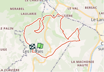


9,5 km | 12,6 km-effort


Gebruiker


Gratisgps-wandelapplicatie
 SityTrail
IGN / Geografische instituten
SityTrail World
De wereld gaat voor u open
Tocht Stappen van 10,9 km beschikbaar op Nieuw-Aquitanië, Dordogne, Les Farges. Deze tocht wordt voorgesteld door Reider.
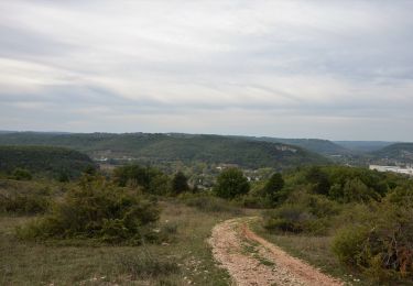
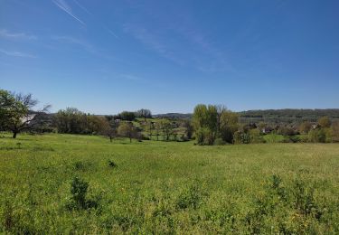
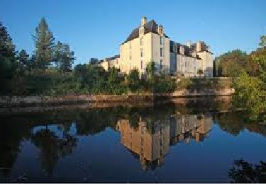
Randonnée qui présente de beau paysages. Un peu de route au départ et à l'arrivée. Il est préférable de la faire au printemps.
Te voet

Stappen
Stappen
Stappen

Stappen
Stappen
Stappen
Stappen
Stappen