


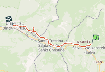

8,9 km | 18,2 km-effort


Gebruiker


Gratisgps-wandelapplicatie
 SityTrail
IGN / Geografische instituten
SityTrail World
De wereld gaat voor u open
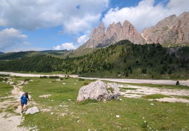
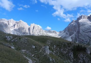
Tocht Stappen van 10,1 km beschikbaar op Trento-Zuid-Tirol, Bolzano - Bozen, Sëlva - Wolkenstein - Selva di Val Gardena. Deze tocht wordt voorgesteld door vitotin.
Aller par l´ancienne voie ferrée jusqu´à
l´église de Santa Cristina.
Puis le sentier 32 jusqu´à San Giacomo
Descente à Ortisei par la via Sacun.
Du centre, retour au bus
Te voet
Te voet

Te voet
Te voet
Stappen
Te voet
Te voet
Te voet
Te voet