


5,4 km | 9,5 km-effort

Gebruiker


Gratisgps-wandelapplicatie
 SityTrail
IGN / Geografische instituten
SityTrail World
De wereld gaat voor u open
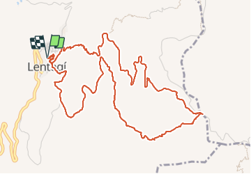
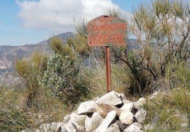
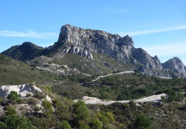
Tocht Stappen van 8,5 km beschikbaar op Andalusië, Granada, Lentegí. Deze tocht wordt voorgesteld door jpipacific.
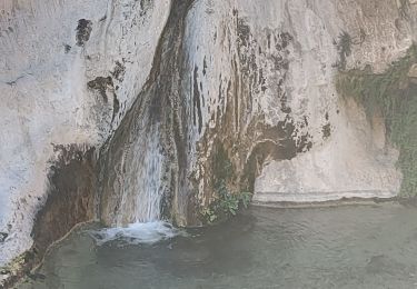
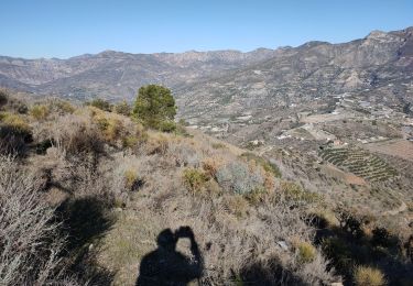
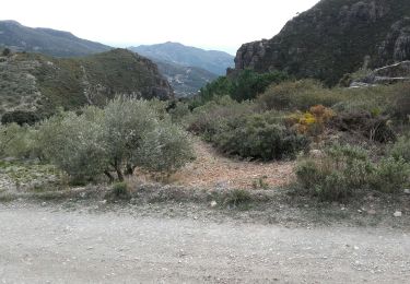
Belle balade dont une partie assez sauvage.
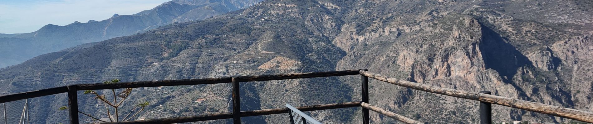
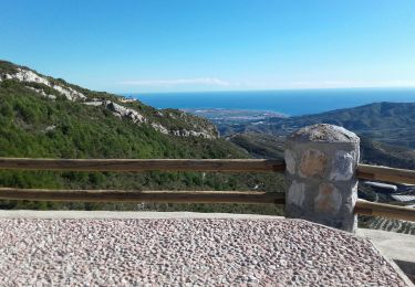
Au début inutile de suivre le chemin qui descend dans le ravin alors que la route amène facilement au balcon point de vue.
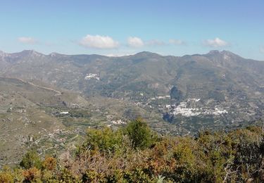
De très beaux points de vues sur les montagnes et la mer


Stappen
Stappen

Stappen
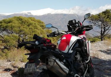
Moto-cross
Stappen
Stappen
Te voet
Stappen
Stappen