14,2 km | 17,2 km-effort
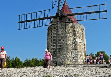
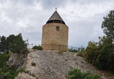
Le mont Paon 24/ 01/ 2024
guetou
Gebruiker
Lengte
13,1 km
Max. hoogte
209 m
Positief hoogteverschil
323 m
Km-Effort
17,4 km
Min. hoogte
62 m
Negatief hoogteverschil
320 m
Boucle
Ja
Datum van aanmaak :
2024-01-24 08:36:27.0
Laatste wijziging :
2024-01-24 15:26:56.981
Gratisgps-wandelapplicatie
Over ons
Tocht van 13,1 km beschikbaar op Provence-Alpes-Côte d'Azur, Bouches-du-Rhône, Tarascon. Deze tocht wordt voorgesteld door guetou.
Plaatsbepaling
Land:
France
Regio :
Provence-Alpes-Côte d'Azur
Departement/Provincie :
Bouches-du-Rhône
Gemeente :
Tarascon
Locatie:
Unknown
Vertrek:(Dec)
Vertrek:(UTM)
639058 ; 4845547 (31T) N.
Opmerkingen
Wandeltochten in de omgeving
du moulin de Daudet à l'aqueduc romain
Stappen
Medium
(2)
Fontvieille,
Provence-Alpes-Côte d'Azur,
Bouches-du-Rhône,
France
3h 59min
Ja
Fontvieille sur les pas de Daudet
Stappen
Medium
(3)
Fontvieille,
Provence-Alpes-Côte d'Azur,
Bouches-du-Rhône,
France
12,8 km | 15,3 km-effort
2h 34min
Ja
Autour de Fontvielle
Stappen
Medium
Fontvieille,
Provence-Alpes-Côte d'Azur,
Bouches-du-Rhône,
France
14,5 km | 17,2 km-effort
4h 24min
Ja
ND du Château
Stappen
Gemakkelijk
(1)
Saint-Étienne-du-Grès,
Provence-Alpes-Côte d'Azur,
Bouches-du-Rhône,
France
10 km | 13,6 km-effort
2h 59min
Ja
Fontvieille circuit bleu
Stappen
Heel gemakkelijk
(1)
Fontvieille,
Provence-Alpes-Côte d'Azur,
Bouches-du-Rhône,
France
10,4 km | 12,7 km-effort
2h 46min
Ja
Fontvieille
Stappen
Moeilijk
Fontvieille,
Provence-Alpes-Côte d'Azur,
Bouches-du-Rhône,
France
14,4 km | 17 km-effort
4h 13min
Ja
Chapelle Saint Gabriel
Stappen
Zeer moeilijk
Tarascon,
Provence-Alpes-Côte d'Azur,
Bouches-du-Rhône,
France
18,6 km | 25 km-effort
5h 23min
Ja
St_Remy_Canal2
Elektrische fiets
Gemakkelijk
(1)
Les Baux-de-Provence,
Provence-Alpes-Côte d'Azur,
Bouches-du-Rhône,
France
30 km | 35 km-effort
1h 55min
Ja
St_Remy_Canal1
Elektrische fiets
Gemakkelijk
(1)
Les Baux-de-Provence,
Provence-Alpes-Côte d'Azur,
Bouches-du-Rhône,
France
35 km | 42 km-effort
1h 55min
Ja