


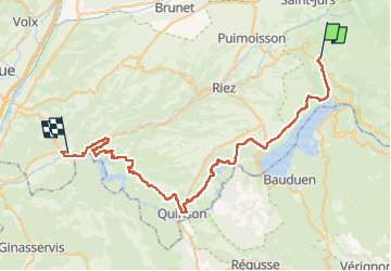


89 km | 126 km-effort


Gebruiker


Gratisgps-wandelapplicatie
 SityTrail
IGN / Geografische instituten
SityTrail World
De wereld gaat voor u open
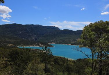
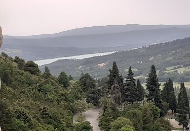
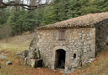
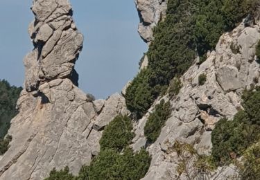
Tocht Mountainbike van 62 km beschikbaar op Provence-Alpes-Côte d'Azur, Alpes-de-Haute-Provence, Moustiers-Sainte-Marie. Deze tocht wordt voorgesteld door marcgiraud.

Stappen
Stappen

Stappen
Stappen
Stappen
Stappen
Stappen
Stappen
Stappen