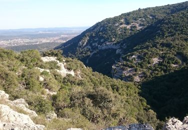
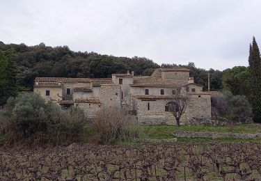
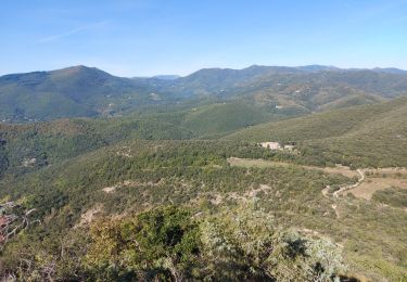
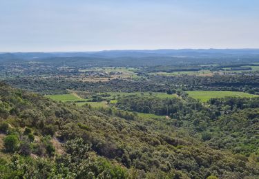
11 km | 13,1 km-effort
VALCROZE
Marcjau34
Gebruiker
Lengte
13,2 km
Max. hoogte
466 m
Positief hoogteverschil
420 m
Km-Effort
18,8 km
Min. hoogte
97 m
Negatief hoogteverschil
420 m
Boucle
Ja
Datum van aanmaak :
2024-01-16 20:45:58.514
Laatste wijziging :
2024-01-16 20:47:04.898
4h16
Moeilijkheid : Medium
Gratisgps-wandelapplicatie
Over ons
Tocht Stappen van 13,2 km beschikbaar op Occitanië, Gard, Sauve. Deze tocht wordt voorgesteld door Marcjau34.
Plaatsbepaling
Land:
France
Regio :
Occitanië
Departement/Provincie :
Gard
Gemeente :
Sauve
Locatie:
Unknown
Vertrek:(Dec)
Vertrek:(UTM)
576389 ; 4865676 (31T) N.
Opmerkingen
Wandeltochten in de omgeving
Les chênes de Coutach
Te voet
Gemakkelijk
Liouc,
Occitanië,
Gard,
France
6,7 km | 10,6 km-effort
2h 24min
Neen
Chateau de Freissac / le Crespou
Stappen
Medium
Sauve,
Occitanië,
Gard,
France
16,8 km | 23 km-effort
5h 40min
Ja
Sauve, le sentier de l'Aven
Stappen
Gemakkelijk
(1)
Sauve,
Occitanië,
Gard,
France
4,2 km | 5,4 km-effort
1h 30min
Ja
52 Km avec 429 de dénivelé
Elektrische fiets
Gemakkelijk
(1)
Quissac,
Occitanië,
Gard,
France
52 km | 62 km-effort
2h 30min
Ja
quissac domaine de la rouviere
Stappen
Gemakkelijk
Quissac,
Occitanië,
Gard,
France
19,2 km | 23 km-effort
5h 6min
Ja
les 2 jumelles près de St hippolythe
Stappen
Medium
Conqueyrac,
Occitanië,
Gard,
France
17,5 km | 25 km-effort
6h 3min
Ja
Sauve-Quissac-Vidourle
Stappen
Moeilijk
Sauve,
Occitanië,
Gard,
France
22 km | 30 km-effort
6h 49min
Ja