47 km | 56 km-effort
Saint Germain de tournebut
clrunavot
Gebruiker
Lengte
7,8 km
Max. hoogte
74 m
Positief hoogteverschil
90 m
Km-Effort
9 km
Min. hoogte
31 m
Negatief hoogteverschil
91 m
Boucle
Ja
Datum van aanmaak :
2024-01-13 13:03:36.017
Laatste wijziging :
2024-01-13 15:42:58.419
2h39
Moeilijkheid : Medium
Gratisgps-wandelapplicatie
Over ons
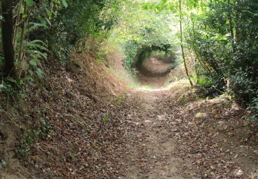
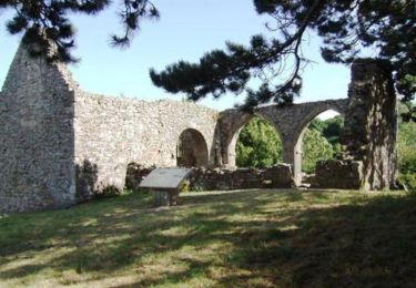
Tocht Stappen van 7,8 km beschikbaar op Normandië, Manche, Saint-Germain-de-Tournebut. Deze tocht wordt voorgesteld door clrunavot.
Beschrijving
pkg eglise
Plaatsbepaling
Land:
France
Regio :
Normandië
Departement/Provincie :
Manche
Gemeente :
Saint-Germain-de-Tournebut
Locatie:
Unknown
Vertrek:(Dec)
Vertrek:(UTM)
616127 ; 5488042 (30U) N.
Opmerkingen
Wandeltochten in de omgeving
Rando d''Alauna 2013 - 50 km - Valognes
Mountainbike
Moeilijk
Valognes,
Normandië,
Manche,
France
2h 30min
Neen
Le circuit du Bouillon - Lestre
Stappen
Medium
(1)
Lestre,
Normandië,
Manche,
France
7 km | 8,1 km-effort
2h 0min
Ja
Autour des ruines d alauna Boucle
Stappen
Heel gemakkelijk
Huberville,
Normandië,
Manche,
France
10,1 km | 11,2 km-effort
2h 5min
Ja
montaigu la brisettte
Lopen
Heel gemakkelijk
Montaigu-la-Brisette,
Normandië,
Manche,
France
10,7 km | 13,2 km-effort
2h 39min
Ja
huberville
Stappen
Heel gemakkelijk
Huberville,
Normandië,
Manche,
France
8,9 km | 10 km-effort
2h 4min
Ja
HUBERVILLE MOYENNE RANDO
Stappen
Medium
Huberville,
Normandië,
Manche,
France
7,8 km | 8,9 km-effort
2h 1min
Ja
Saussememil 50
Stappen
Moeilijk
Saussemesnil,
Normandië,
Manche,
France
11,9 km | 13,6 km-effort
3h 12min
Ja
Tarmerville
Stappen
Moeilijk
Tamerville,
Normandië,
Manche,
France
10,6 km | 12,3 km-effort
3h 2min
Ja