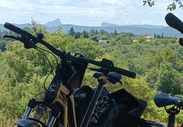
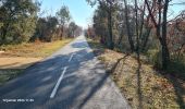
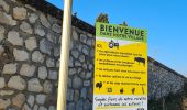
Tocht Stappen Salinelles - salinelles-pondres-souvignargues-fontanes - Photo

salinelles-pondres-souvignargues-fontanes

 v.rabot
v.rabot

Gebruiker

© OpenStreetMap contributors
Lengte
Lengte
14,7 km
Max. hoogte
Max. hoogte
106 m
Positief hoogteverschil
190 m
Km-Effort
Km-Effort  
17,2 km
Min. hoogte
Min. hoogte
28 m
Negatief hoogteverschil
186 m
Boucle
Boucle
Ja
Datum van aanmaak :
2024-01-12 10:26:48.139
Laatste wijziging :
2024-01-13 09:42:00.789

(0 Bericht)

Stappen
Stappen
4h14
Moeilijkheid : Medium

Scan deze QR-code om de tocht te openen in de SityTrail-applicatie

Gratisgps-wandelapplicatie

Logo SityTrail SityTrail

IGN / Geografische instituten

SityTrail uit de App Store downloaden SityTrail uit Google Play downloaden

Logo SityTrail SityTrail World

De wereld gaat voor u open

SityTrail uit de App Store downloaden SityTrail uit Google Play downloaden SityTrail op Huawei AppGallery downloaden

Over ons

Tocht Stappen van 14,7 km beschikbaar op Occitanië, Gard, Salinelles. Deze tocht wordt voorgesteld door v.rabot.

Beschrijving

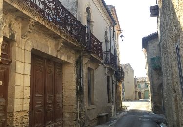
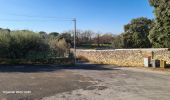
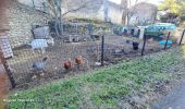
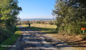
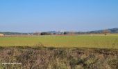
Partant de Salinelles, on franchit le Vidourle, on rejoint le château de Pondres en se servant de la voie verte pour éviter la boue et le franchissement du ruisseau, à la sortie du pont on part sur la gauche vers le parcours motocross. On traverse Pondres, puis on rejoint Souvignargues ou on y admire le vieux village. On est obligé de prendre une petite portion de la départementale pour rejoindre Fontanès, Aucune difficulté sur ce parcours qui doit cependant tenir compte de la hauteur éventuelle du Vidourle, les deux traversées se faisant sur des ponts inondables.

Hoogteprofiel

Foto's

24 fotos in totaal. Klik op een foto om ze allemaal in de galerij weer te geven.

Plaatsbepaling

Land:
France
Regio :
Occitanië
Departement/Provincie :
Gard
Gemeente :
Salinelles
Locatie:
Unknown
Vertrek:(UTM)
586003 ; 4851108 (31T) N.

Wandeltochten in de omgeving

Tocht Stappen Fontanès - FONTANÉS 30 - SALINELLES - PONDRES - ballade autour du Vidourle  - Photo
Stappen
jeff66

Stappen

Medium
(3)
Fontanès, Occitanië, Gard, France
10,7 km | 12,7 km-effort
1h 59min
Ja
Tocht Stappen Sommières -  SOMMIERES 30 - VILLEVIEILLE châteaux- JUNAS les carrières  - Photo
Stappen
jeff66

Stappen

Medium
(2)
Sommières, Occitanië, Gard, France
14 km | 16,9 km-effort
2h 34min
Ja
Tocht Stappen Saint-Clément - Le bois de Paris - Grotte, Table d'orientation, Oppidum - Photo
Stappen
f4tnk

Stappen

Medium
(1)
Saint-Clément, Occitanië, Gard, France
8,2 km | 10,9 km-effort
2h 29min
Ja
Tocht Stappen Junas - Entre Junas et Aujargues - Photo
Stappen
GUIDE
randotines

Stappen

Gemakkelijk
Junas, Occitanië, Gard, France
7,9 km | 9,4 km-effort
2h 2min
Ja
Tocht Stappen Sommières - Autour de Villevielle 30 - Photo
Stappen
guignier

Stappen

Gemakkelijk
(2)
Sommières, Occitanië, Gard, France
10,5 km | 12,3 km-effort
3h 0min
Ja
Tocht sport Junas - Carrières de Jonas - Photo
sport
fb30

sport

Heel gemakkelijk
Junas, Occitanië, Gard, France
3,5 km | 4,1 km-effort
Onbekend
Ja
Tocht Elektrische fiets Junas - Boucle de la Vidourle  - Photo
Elektrische fiets
apa

Elektrische fiets

Gemakkelijk
Junas, Occitanië, Gard, France
38 km | 43 km-effort
2h 33min
Ja
Tocht Stappen Sommières - Les matches de géants  - Photo
Stappen
gscholasch

Stappen

Gemakkelijk
Sommières, Occitanië, Gard, France
48 km | 67 km-effort
3h 29min
Neen
Tocht Stappen Aspères - Aspères - Photo
Stappen
GUIDE
Roger Philippe Wallez

Stappen

Moeilijk
Aspères, Occitanië, Gard, France
12,6 km | 16,4 km-effort
4h 26min
Ja


Sluiten
Mijn abonnementen