


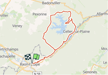

28 km | 37 km-effort


Gebruiker


Gratisgps-wandelapplicatie
 SityTrail
IGN / Geografische instituten
SityTrail World
De wereld gaat voor u open
Tocht Elektrische fiets van 35 km beschikbaar op Grand Est, Vogezen, Raon-l'Étape. Deze tocht wordt voorgesteld door gmalgrase.
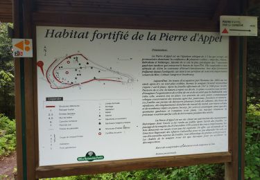
Raon l'Etape, Celles sur Plaine, montée vers Pierre percée. Tour du Lac par la ceinture verte.
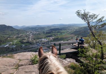
Paardrijden
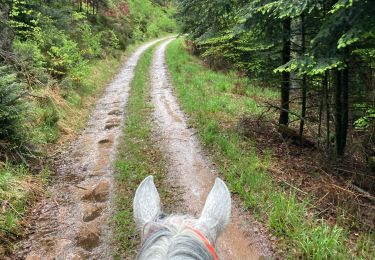
Paardrijden

Mountainbike
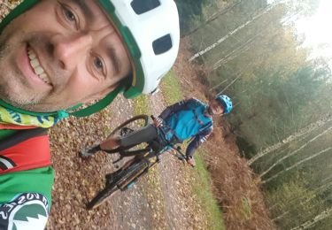
Mountainbike
Mountainbike
Mountainbike
Mountainbike
Mountainbike
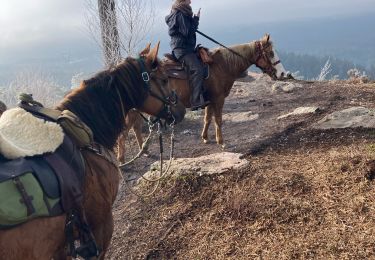
Paardrijden