


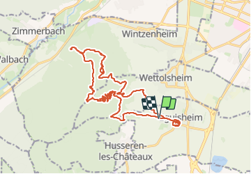

11,7 km | 17,7 km-effort

Gebruiker GUIDE


Gratisgps-wandelapplicatie
 SityTrail
IGN / Geografische instituten
SityTrail World
De wereld gaat voor u open
Tocht Stappen van 22 km beschikbaar op Grand Est, Haut-Rhin, Eguisheim. Deze tocht wordt voorgesteld door holtzv.
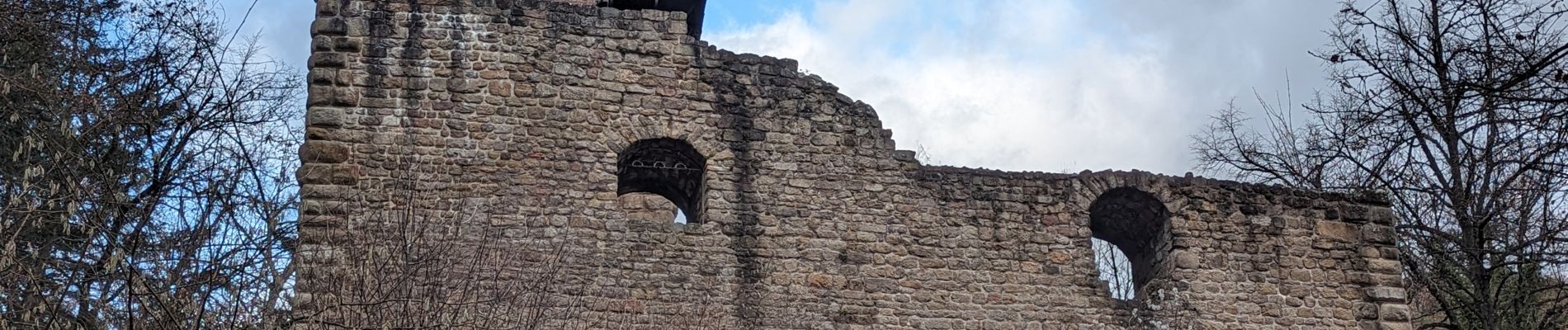
Marche à la journée depuis le haut de Eguisheim en passant par le château du Hagueneck, les pierres du repos des chasseurs, le rocher Turenne, la fontaine de la Dame, le château du Flixbourg et le château du Hohlandsbourg.
Fin de journée au marché de Noël d'Eguisheim.


Stappen

Stappen

Lopen

Mountainbike

Stappen
Stappen

Stappen

Stappen
Stappen