


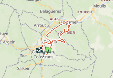

15 km | 26 km-effort


Gebruiker


Gratisgps-wandelapplicatie
 SityTrail
IGN / Geografische instituten
SityTrail World
De wereld gaat voor u open
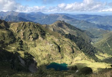
Tocht Stappen van 13,2 km beschikbaar op Occitanië, Ariège, Castillon-en-Couserans. Deze tocht wordt voorgesteld door counoise.


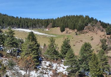
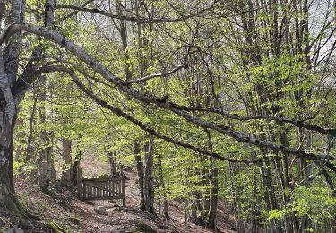
Stappen

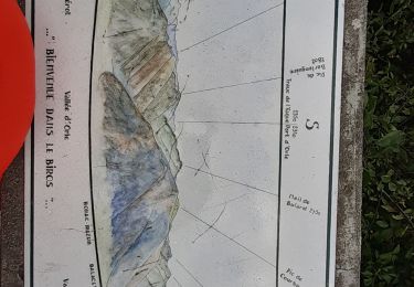
Stappen
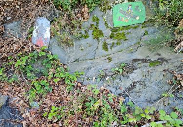
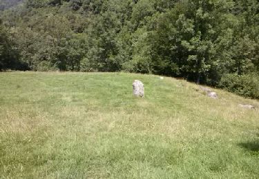
Stappen
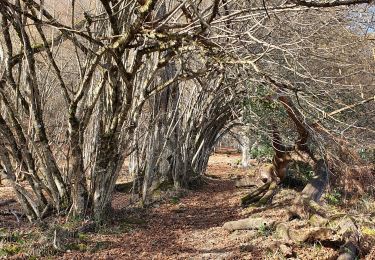
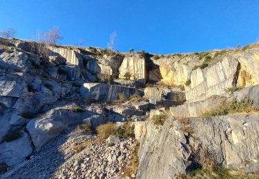
Stappen
Stappen
Stappen
Stappen
Stappen
Stappen