


2,7 km | 3 km-effort

Gebruiker GUIDE


Gratisgps-wandelapplicatie
 SityTrail
IGN / Geografische instituten
SityTrail World
De wereld gaat voor u open
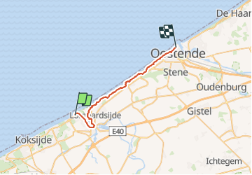
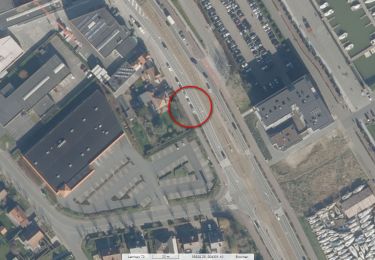
Tocht Stappen van 27 km beschikbaar op Vlaanderen, West-Vlaanderen, Nieuwpoort. Deze tocht wordt voorgesteld door Charles Lemaire.
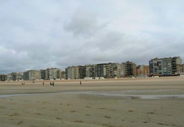
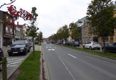
Une deuxième partie du GR bien moins éprouvante que celle de La Panne à Nieuport.
Peu de passages dans le sable des dunes, le plus souvent les chemins sont aménagés.
Tenez cependant compte de la fatigue de la veille si vous avez complété cette première épreuve.
Logement facile à Ostende.
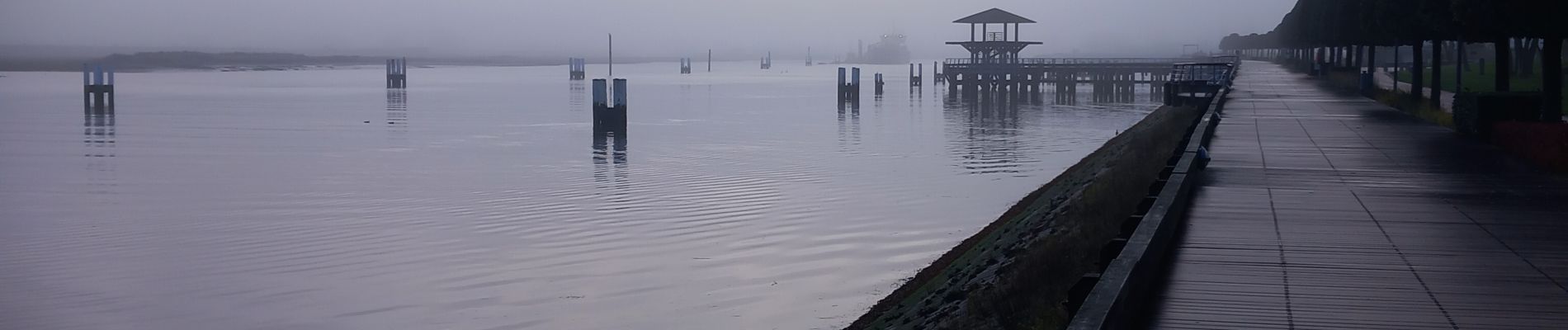
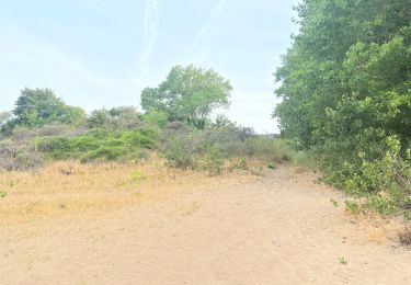
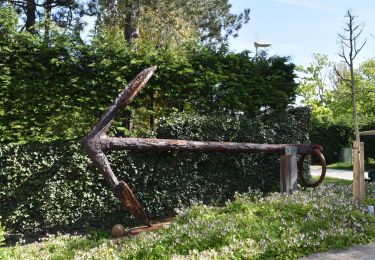
 day 2/4 - Photo 1")
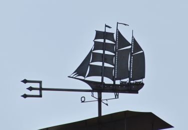
 day 2/4 - Photo 2")
Stappen
Stappen
Stappen
Stappen
Stappen
Stappen
Te voet
Te voet
Te voet