


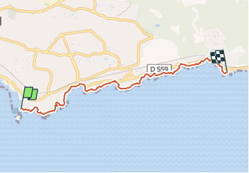


5,7 km | 8,3 km-effort

Gebruiker


Gratisgps-wandelapplicatie
 SityTrail
IGN / Geografische instituten
SityTrail World
De wereld gaat voor u open
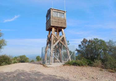
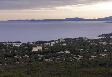
Tocht Stappen van 6 km beschikbaar op Provence-Alpes-Côte d'Azur, Var, Saint-Raphaël. Deze tocht wordt voorgesteld door boulinevelyne.
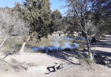
Plage d'Aigue Bonne
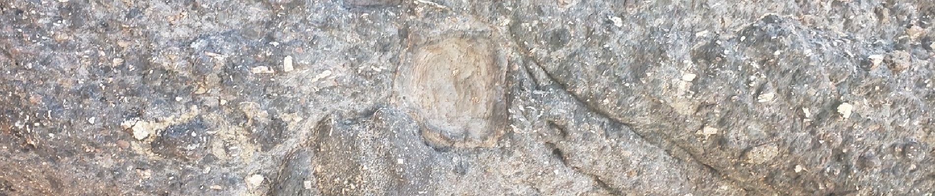
https://www.lithotheque.ac-aix-marseille.fr/Affleurements_PACA/83_esterellite/83_esterellite_aiguebonne.htm


24 fotos in totaal. Klik op een foto om ze allemaal in de galerij weer te geven.

Stappen

Stappen

Elektrische fiets
Stappen
Stappen
Stappen
Mountainbike
Stappen

Stappen