


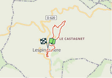

6,4 km | 10 km-effort


Gebruiker


Gratisgps-wandelapplicatie
 SityTrail
IGN / Geografische instituten
SityTrail World
De wereld gaat voor u open
Tocht Stappen van 4,7 km beschikbaar op Occitanië, Aude, Lespinassière. Deze tocht wordt voorgesteld door SoleilMoussanais.
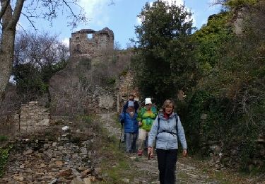
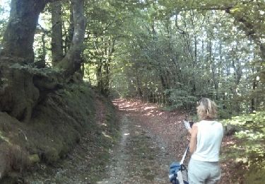
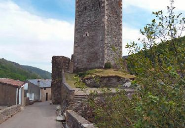
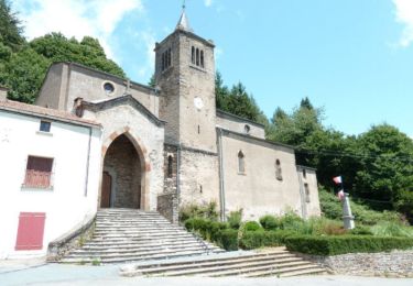
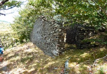
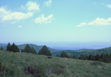
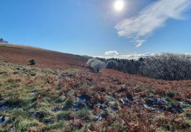
A Lespinassière. Parking à la Mairie, agréable blade dans la haute vallée de l'Argent Double. Vestiges pastoraux dans le bois de Combe Sourde.

Stappen
Stappen
Stappen
Stappen
Stappen
Stappen
Stappen
Stappen

Te voet