


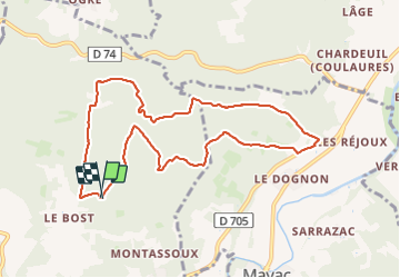

9,9 km | 12,6 km-effort


Gebruiker


Gratisgps-wandelapplicatie
 SityTrail
IGN / Geografische instituten
SityTrail World
De wereld gaat voor u open
Tocht Stappen van 9,7 km beschikbaar op Nieuw-Aquitanië, Dordogne, Savignac-les-Églises. Deze tocht wordt voorgesteld door pascalmilpas.
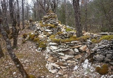
boucle de 10kms tres propre passant des sentiers des Bories au sentier artistique
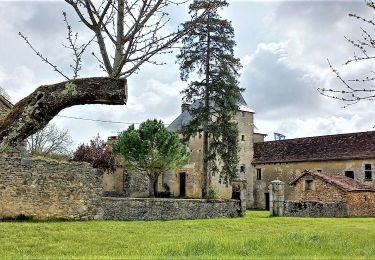
PK au hangar de Hache

Stappen
Stappen
Stappen
Stappen

Stappen
Stappen
Noords wandelen
Noords wandelen

Stappen