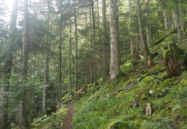
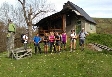
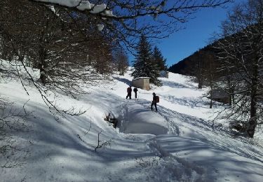
13,3 km | 32 km-effort
Les Entrailles de Melles
OUSSET
Gebruiker
Lengte
11,4 km
Max. hoogte
1710 m
Positief hoogteverschil
980 m
Km-Effort
24 km
Min. hoogte
910 m
Negatief hoogteverschil
983 m
Boucle
Ja
Datum van aanmaak :
2023-11-05 07:36:59.131
Laatste wijziging :
2023-11-06 12:32:41.068
4h17
Moeilijkheid : Medium
Gratisgps-wandelapplicatie
Over ons
Tocht Stappen van 11,4 km beschikbaar op Occitanië, Haute-Garonne, Melles. Deze tocht wordt voorgesteld door OUSSET.
Plaatsbepaling
Land:
France
Regio :
Occitanië
Departement/Provincie :
Haute-Garonne
Gemeente :
Melles
Locatie:
Unknown
Vertrek:(Dec)
Vertrek:(UTM)
320299 ; 4748143 (31T) N.
Opmerkingen
Wandeltochten in de omgeving
pic de la Calabasse en boucles depuis le parking de l'Osque Couret
Stappen
Medium
(1)
Saint-Lary,
Occitanië,
Ariège,
France
13,4 km | 28 km-effort
7h 13min
Ja
Mines de Pale Rase par l'Osque du Couret (St Lary)
Stappen
Gemakkelijk
Saint-Lary,
Occitanië,
Ariège,
France
10,6 km | 18,5 km-effort
3h 45min
Ja
Cap de Gauch (2148m) depuis Coulédoux
Stappen
Medium
Boutx,
Occitanië,
Haute-Garonne,
France
15 km | 32 km-effort
5h 54min
Ja
Melles
Sneeuwschoenen
Heel gemakkelijk
Melles,
Occitanië,
Haute-Garonne,
France
13 km | 22 km-effort
6h 26min
Ja
Tuc de Seynevies
Stappen
Heel gemakkelijk
Melles,
Occitanië,
Haute-Garonne,
France
10 km | 18,8 km-effort
3h 43min
Ja
du coueou pale Paillé par czbane piejeau
Stappen
Medium
Boutx,
Occitanië,
Haute-Garonne,
France
11,7 km | 24 km-effort
5h 55min
Ja
piejeau
Stappen
Heel gemakkelijk
Boutx,
Occitanië,
Haute-Garonne,
France
5,5 km | 10,8 km-effort
1h 52min
Neen