


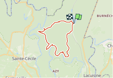


18,6 km | 25 km-effort

Gebruiker


Gratisgps-wandelapplicatie
 SityTrail
IGN / Geografische instituten
SityTrail World
De wereld gaat voor u open
Tocht Stappen van 12,8 km beschikbaar op Wallonië, Luxemburg, Florenville. Deze tocht wordt voorgesteld door guyernage25.
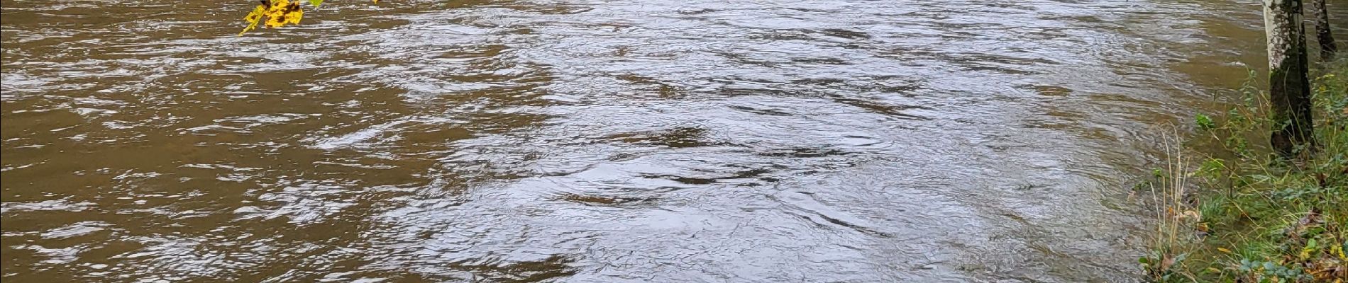
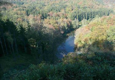
Belle rando forestiere vers la Semois et le point de vue du chat


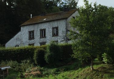
43 fotos in totaal. Klik op een foto om ze allemaal in de galerij weer te geven.

Stappen

Stappen
Stappen

Stappen

Stappen

Stappen
Stappen

Stappen

Stappen