

portiragnes étang de l estagnol

Daron34
Gebruiker

Lengte
8,7 km

Max. hoogte
9 m

Positief hoogteverschil
30 m

Km-Effort
9,1 km

Min. hoogte
-2 m

Negatief hoogteverschil
29 m
Boucle
Neen
Datum van aanmaak :
2023-10-27 11:56:42.616
Laatste wijziging :
2023-10-27 15:07:23.806
2h41
Moeilijkheid : Heel gemakkelijk

Gratisgps-wandelapplicatie
Over ons
Tocht Stappen van 8,7 km beschikbaar op Occitanië, Hérault, Portiragnes. Deze tocht wordt voorgesteld door Daron34.
Beschrijving
Boucle au départ de l écluse de Portiragnes d environ 9kms avec traversée de l étang de l estagnol pour découvrir faune et flore de la Maïre
Plaatsbepaling
Land:
France
Regio :
Occitanië
Departement/Provincie :
Hérault
Gemeente :
Portiragnes
Locatie:
Unknown
Vertrek:(Dec)
Vertrek:(UTM)
526710 ; 4794689 (31T) N.
Opmerkingen
Wandeltochten in de omgeving

Ballade VTTAE du 31 Août 2022 30,4kms


Elektrische fiets
Heel gemakkelijk
Portiragnes,
Occitanië,
Hérault,
France

30 km | 33 km-effort
2h 17min
Ja
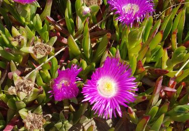
Portiragnes


Stappen
Gemakkelijk
Portiragnes,
Occitanië,
Hérault,
France

7,8 km | 8 km-effort
1h 47min
Ja

Jogging


Lopen
Gemakkelijk
(1)
Portiragnes,
Occitanië,
Hérault,
France

9,3 km | 9,9 km-effort
45min
Ja
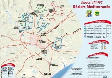
De Cers à Bourbaki


Mountainbike
Medium
Cers,
Occitanië,
Hérault,
France

16,7 km | 18,5 km-effort
2h 30min
Ja

boucle départ Portiragnes village via étang de la rivièrette,Portiragnes Plag...


Stappen
Medium
Portiragnes,
Occitanië,
Hérault,
France

19,3 km | 21 km-effort
2h 48min
Neen
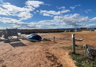
Portiragne plage manade


Stappen
Gemakkelijk
Portiragnes,
Occitanië,
Hérault,
France

10,4 km | 11 km-effort
2h 59min
Ja
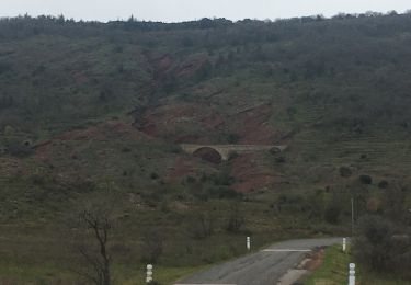
Lac du Salagou 16032021


Auto
Villeneuve-lès-Béziers,
Occitanië,
Hérault,
France

133 km | 155 km-effort
2h 9min
Neen
Ccas Portiragnes vers Vias plage


Fiets
Heel gemakkelijk
Portiragnes,
Occitanië,
Hérault,
France

23 km | 24 km-effort
1h 44min
Ja
Ccas Portiragnes vers Vias plage


Fiets
Heel gemakkelijk
Portiragnes,
Occitanië,
Hérault,
France

23 km | 24 km-effort
1h 44min
Ja


 SityTrail


