18,4 km | 22 km-effort
16/10/23
© OpenStreetMap contributors
Lengte
7,3 km
Max. hoogte
338 m
Positief hoogteverschil
169 m
Km-Effort
9,6 km
Min. hoogte
255 m
Negatief hoogteverschil
162 m
Boucle
Ja
Datum van aanmaak :
2023-10-16 13:42:43.0
Laatste wijziging :
2023-10-16 15:04:41.778
Gratisgps-wandelapplicatie
Over ons
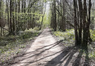
Tocht van 7,3 km beschikbaar op Nieuw-Aquitanië, Creuse, Saint-Sébastien. Deze tocht wordt voorgesteld door 000646.2bff3478caf44375872b56d8d6397886.1503.
Plaatsbepaling
Land:
France
Regio :
Nieuw-Aquitanië
Departement/Provincie :
Creuse
Gemeente :
Saint-Sébastien
Locatie:
Unknown
Vertrek:(Dec)
Vertrek:(UTM)
388528 ; 5138672 (31T) N.
Opmerkingen
Wandeltochten in de omgeving
Le rocher de la Fileuse
Stappen
Moeilijk
Saint-Plantaire,
Centre-Val de Loire,
Indre,
France
13,1 km | 16,7 km-effort
3h 48min
Ja
2ème Randonnée Crozant
Stappen
Zeer moeilijk
Saint-Plantaire,
Centre-Val de Loire,
Indre,
France
16,7 km | 22 km-effort
4h 40min
Ja
Compostelle etape 14
Stappen
Medium
Crozant,
Nieuw-Aquitanië,
Creuse,
France
23 km | 27 km-effort
5h 27min
Neen
2021-05-18_21h12m49_13070504-track-1621365109-241
Paardrijden
Medium
Lafat,
Nieuw-Aquitanië,
Creuse,
France
25 km | 30 km-effort
3h 57min
Ja
Fougère plage - Crozant
Stappen
Gemakkelijk
Saint-Plantaire,
Centre-Val de Loire,
Indre,
France
14,8 km | 20 km-effort
6h 57min
Neen
Eguzon 2019
Mountainbike
Moeilijk
Éguzon-Chantôme,
Centre-Val de Loire,
Indre,
France
42 km | 53 km-effort
4h 31min
Ja
eguzon crozant
Stappen
Medium
Éguzon-Chantôme,
Centre-Val de Loire,
Indre,
France
14,7 km | 19,5 km-effort
4h 3min
Ja
Eguzon 2017
Mountainbike
Moeilijk
Éguzon-Chantôme,
Centre-Val de Loire,
Indre,
France
30 km | 39 km-effort
4h 0min
Ja