


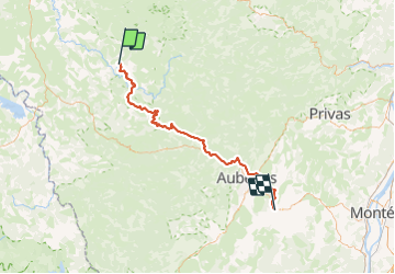

72 km | 91 km-effort


Gebruiker


Gratisgps-wandelapplicatie
 SityTrail
IGN / Geografische instituten
SityTrail World
De wereld gaat voor u open
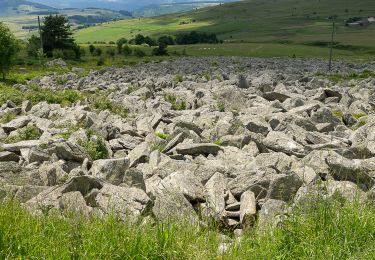
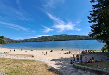
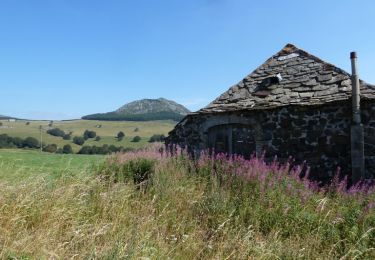
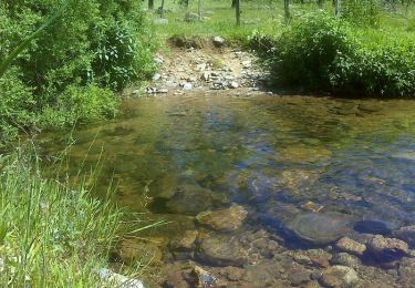
Tocht Elektrische fiets van 70 km beschikbaar op Auvergne-Rhône-Alpes, Ardèche, Le Lac-d'Issarlès. Deze tocht wordt voorgesteld door ricou1964.
Wegfiets
Lopen
Stappen
Stappen
Stappen

Te voet

Mountainbike
Stappen
Stappen