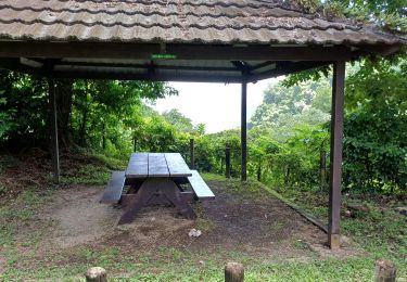
Tocht Stappen Macouba - Boucle  de Macouba - Photo

Boucle de Macouba

 Lamartiniere
Lamartiniere

Gebruiker GUIDE

© OpenStreetMap contributors
Lengte
Lengte
9,8 km
Max. hoogte
Max. hoogte
250 m
Positief hoogteverschil
281 m
Km-Effort
Km-Effort  
13,6 km
Min. hoogte
Min. hoogte
19 m
Negatief hoogteverschil
282 m
Boucle
Boucle
Ja
Datum van aanmaak :
2023-10-12 12:46:10.286
Laatste wijziging :
2025-01-25 02:25:04.386

(1 Bericht)

Stappen
Stappen
3h05
Moeilijkheid : Moeilijk

Scan deze QR-code om de tocht te openen in de SityTrail-applicatie

Gratisgps-wandelapplicatie

Logo SityTrail SityTrail

IGN / Geografische instituten

SityTrail uit de App Store downloaden SityTrail uit Google Play downloaden

Logo SityTrail SityTrail World

De wereld gaat voor u open

SityTrail uit de App Store downloaden SityTrail uit Google Play downloaden SityTrail op Huawei AppGallery downloaden

Over ons

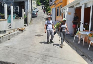
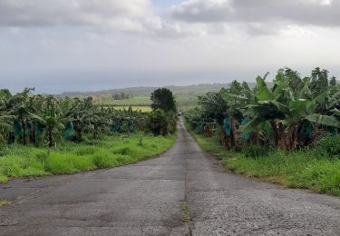
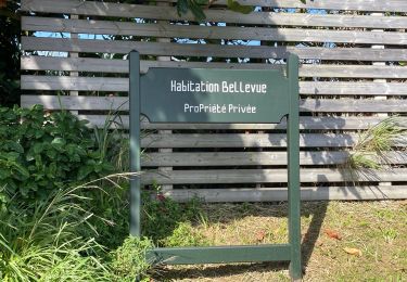
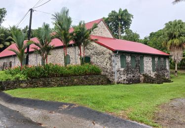
Tocht Stappen van 9,8 km beschikbaar op Martinique, Onbekend, Macouba. Deze tocht wordt voorgesteld door Lamartiniere.

Beschrijving

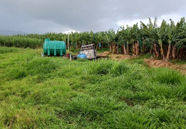
Demande d'autorisations  de traverser les plantations .
Celle de Maraud Des Grottes, plus pratique,  pour rejoindre  la D10,   étant exclue du dispositif.

Cette randonnée  sur exploitations agricoles de Basse-Pointe,  
  au Nord,  nécessite   obligatoirement  des  autorisations de
  passages.
- Document d'assurance pour les associations en règle.
- Suivre les recommandations  et les règles relatives à la sécurité et  à  l'hygiène (pas de détritus, etc.)

Hoogteprofiel

Plaatsbepaling

Land:
France
Regio :
Martinique
Departement/Provincie :
Onbekend
Gemeente :
Macouba
Locatie:
Unknown
Vertrek:(UTM)
700442 ; 1645251 (20P) N.

Opmerkingen

Gelieve in te loggen om een commentaar of een beoordeling achter te laten


Wandeltochten in de omgeving

Tocht Stappen Basse-Pointe - Exploitations agricoles en boucle N°1 - Photo
Stappen
GUIDE
Lamartiniere

Stappen

Medium
Basse-Pointe, Martinique, Onbekend, France
13,2 km | 16,5 km-effort
4h 0min
Ja
Tocht Stappen Basse-Pointe - Boucle de chalvet, Pécoule vers Chalvet. - Photo
Stappen
GUIDE
GabyG

Stappen

Medium
Basse-Pointe, Martinique, Onbekend, France
6,5 km | 7,8 km-effort
3h 2min
Ja
Tocht Stappen Basse-Pointe - Grande Boucle sur Basse pointe. - Photo
Stappen
GUIDE
GabyG

Stappen

Zeer moeilijk
Basse-Pointe, Martinique, Onbekend, France
14,1 km | 17,6 km-effort
4h 55min
Ja
Tocht Stappen Basse-Pointe - Rondes des Habitations - Photo
Stappen
GUIDE
Lamartiniere

Stappen

Medium
Basse-Pointe, Martinique, Onbekend, France
9,9 km | 12,5 km-effort
3h 45min
Ja
Tocht Stappen Grand'Rivière - Boucle  Malakoff - Grand-Riviere - Photo
Stappen
GUIDE
Lamartiniere

Stappen

Medium
Grand'Rivière, Martinique, Onbekend, France
9,2 km | 13,9 km-effort
5h 56min
Ja
Tocht Stappen Basse-Pointe - Boucle Habitations  Gradis et  Hackaert - Photo
Stappen
GUIDE
Lamartiniere

Stappen

Medium
Basse-Pointe, Martinique, Onbekend, France
10,8 km | 16,7 km-effort
3h 15min
Ja
Tocht sport Macouba - Boucle Macouba (habitation Bellevue) - Photo
sport
GUIDE
Jean-Luc Farant

sport

Heel gemakkelijk
Macouba, Martinique, Onbekend, France
6,3 km | 8,9 km-effort
Onbekend
Ja
Tocht Stappen Macouba - Boucle Macouba 3 - Photo
Stappen
GUIDE
Lamartiniere

Stappen

Medium
Macouba, Martinique, Onbekend, France
10,6 km | 15,2 km-effort
4h 8min
Ja
Tocht Stappen Grand'Rivière - PRÊCHEUR - PRÊCHEUR  - Photo
Stappen
Mabouya0462

Stappen

Moeilijk
Grand'Rivière, Martinique, Onbekend, France
6,5 km | 11,8 km-effort
2h 6min
Ja


Sluiten
Mijn abonnementen