


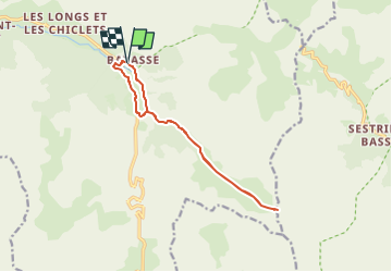

16,3 km | 27 km-effort


Gebruiker


Gratisgps-wandelapplicatie
 SityTrail
IGN / Geografische instituten
SityTrail World
De wereld gaat voor u open
Tocht Sneeuwschoenen van 12,5 km beschikbaar op Provence-Alpes-Côte d'Azur, Alpes-de-Haute-Provence, Uvernet-Fours. Deze tocht wordt voorgesteld door GAPIAN43.
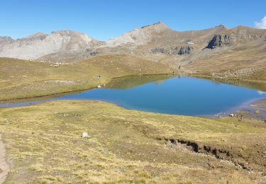
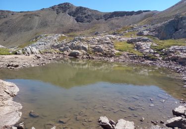
Les passages les plus difficiles se trouve entre la cabane de l'Adroit du Pin et celle de la Sanguinière. Cetaines ravines sont difficilles à traverser.
Stappen

Stappen

Stappen

Stappen
Te voet
Stappen
Stappen
Stappen
Stappen