22 km | 26 km-effort
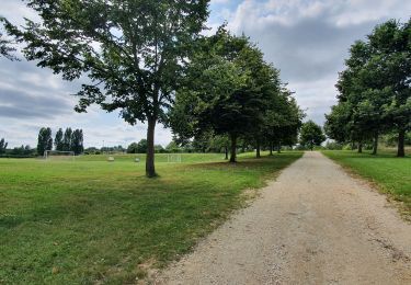
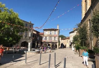
Eauze, sentier des moulins.
Santblasi
Gebruiker
Lengte
11,2 km
Max. hoogte
168 m
Positief hoogteverschil
131 m
Km-Effort
13 km
Min. hoogte
119 m
Negatief hoogteverschil
129 m
Boucle
Neen
Datum van aanmaak :
2023-09-27 06:59:17.153
Laatste wijziging :
2023-10-08 17:09:39.547
3h15
Moeilijkheid : Gemakkelijk
Gratisgps-wandelapplicatie
Over ons
Tocht Stappen van 11,2 km beschikbaar op Occitanië, Gers, Eauze. Deze tocht wordt voorgesteld door Santblasi.
Beschrijving
rejoindre le GR 67 puis suivre tracé jaune jusqu'au parking
Plaatsbepaling
Land:
France
Regio :
Occitanië
Departement/Provincie :
Gers
Gemeente :
Eauze
Locatie:
Unknown
Vertrek:(Dec)
Vertrek:(UTM)
267358 ; 4861213 (31T) N.
Opmerkingen
Wandeltochten in de omgeving
Boucle EquiVolt
Paardrijden
Gemakkelijk
Manciet,
Occitanië,
Gers,
France
11,4 km | 13,6 km-effort
2h 41min
Ja
Le Chemin des Moulins
Stappen
Gemakkelijk
Eauze,
Occitanië,
Gers,
France
10,4 km | 12,2 km-effort
2h 15min
Ja
Eauze - Le Haget
Stappen
Gemakkelijk
Eauze,
Occitanië,
Gers,
France
15 km | 17,9 km-effort
6h 29min
Neen
StJ-J37-Laboge-Nogaro
Stappen
Zeer moeilijk
Bretagne-d'Armagnac,
Occitanië,
Gers,
France
27 km | 32 km-effort
6h 56min
Neen
le coupé eauze ste christie 15.7.2017
Stappen
Heel gemakkelijk
Eauze,
Occitanië,
Gers,
France
25 km | 29 km-effort
5h 23min
Neen
OR-6946309--Eauze:eauze-nogaro-6
Stappen
Heel gemakkelijk
Eauze,
Occitanië,
Gers,
France
20 km | 23 km-effort
5h 4min
Neen