


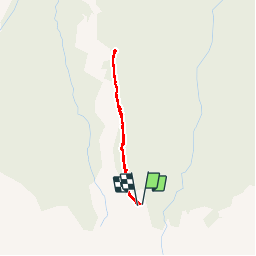


7,9 km | 13,8 km-effort

Gebruiker


Gratisgps-wandelapplicatie
 SityTrail
IGN / Geografische instituten
SityTrail World
De wereld gaat voor u open
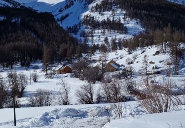
Tocht Sneeuwschoenen van 2,4 km beschikbaar op Provence-Alpes-Côte d'Azur, Hautes-Alpes, Le Monêtier-les-Bains. Deze tocht wordt voorgesteld door aja.
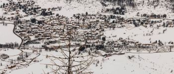
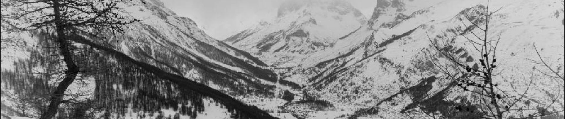
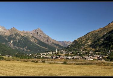
L'intérêt de cette balade tient au point de vue sur Le Monêtier-les-Bains et l'ensemble de la vallée depuis le Belvédère du Clôt du Refour. Attention la montée est au retour !


Stappen
Stappen

Stappen
Noords wandelen
Stappen
Stappen
Stappen
Stappen
Stappen