19,3 km | 24 km-effort
St sauveur Bpjeps
cps46
Gebruiker
Lengte
11,4 km
Max. hoogte
266 m
Positief hoogteverschil
282 m
Km-Effort
15,1 km
Min. hoogte
107 m
Negatief hoogteverschil
282 m
Boucle
Ja
Datum van aanmaak :
2023-09-25 11:24:56.0
Laatste wijziging :
2023-09-25 14:34:51.843
3h09
Moeilijkheid : Moeilijk
Gratisgps-wandelapplicatie
Over ons
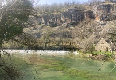
Tocht Stappen van 11,4 km beschikbaar op Occitanië, Lot, Calès. Deze tocht wordt voorgesteld door cps46.
Plaatsbepaling
Land:
France
Regio :
Occitanië
Departement/Provincie :
Lot
Gemeente :
Calès
Locatie:
Unknown
Vertrek:(Dec)
Vertrek:(UTM)
384449 ; 4962357 (31T) N.
Opmerkingen
Wandeltochten in de omgeving
Cales lacave cougnaguet
Stappen
Gemakkelijk
Calès,
Occitanië,
Lot,
France
17,9 km | 23 km-effort
5h 10min
Ja
Boucle Plateau-vallée entre Rocamadour et Gramat
Mountainbike
Moeilijk
Calès,
Occitanië,
Lot,
France
42 km | 52 km-effort
3h 26min
Ja
caoulet rocamadour cougnaguet
Stappen
Gemakkelijk
Calès,
Occitanië,
Lot,
France
20 km | 27 km-effort
4h 54min
Ja
balades en passant par rocamadour
Andere activiteiten
Gemakkelijk
Rocamadour,
Occitanië,
Lot,
France
16,7 km | 21 km-effort
4h 2min
Ja
calés -st sauveur
Stappen
Heel gemakkelijk
(1)
Calès,
Occitanië,
Lot,
France
14,9 km | 20 km-effort
3h 19min
Ja
Ouysse et Alzou
Stappen
Heel gemakkelijk
(1)
Rocamadour,
Occitanië,
Lot,
France
7,4 km | 11,1 km-effort
2h 20min
Ja
Rando vtt AE 2021 hirondelles
Mountainbike
Moeilijk
Pinsac,
Occitanië,
Lot,
France
29 km | 38 km-effort
1h 49min
Neen
rocamadour les 3 gouffres st sauveur
Stappen
Heel gemakkelijk
Calès,
Occitanië,
Lot,
France
5,9 km | 7,5 km-effort
2h 0min
Neen