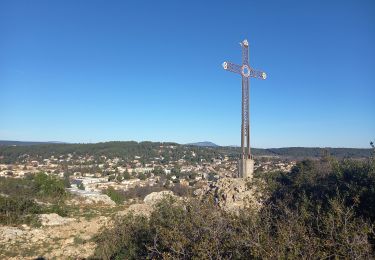
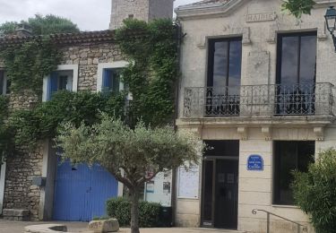
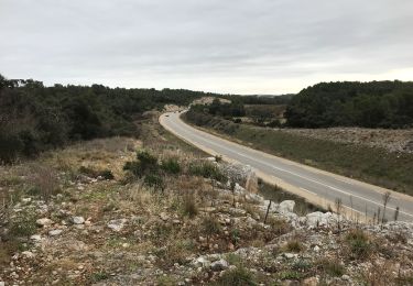
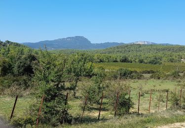
Tocht Stappen Saint-Clément-de-Rivière - 34 - St Clément de Rivière - 6,7 km - 2h00.gpx - Photo

34 - St Clément de Rivière - 6,7 km - 2h00.gpx

 dansmabulle34
dansmabulle34

Gebruiker

© OpenStreetMap contributors
Lengte
Lengte
6,7 km
Max. hoogte
Max. hoogte
126 m
Positief hoogteverschil
87 m
Km-Effort
Km-Effort  
7,8 km
Min. hoogte
Min. hoogte
71 m
Negatief hoogteverschil
88 m
Boucle
Boucle
Ja
Datum van aanmaak :
2015-01-27 00:00:00.0
Laatste wijziging :
2015-01-27 00:00:00.0

(0 Bericht)

Stappen
Stappen
1h45
Moeilijkheid : Gemakkelijk

Scan deze QR-code om de tocht te openen in de SityTrail-applicatie

Gratisgps-wandelapplicatie

Logo SityTrail SityTrail

IGN / Geografische instituten

SityTrail uit de App Store downloaden SityTrail uit Google Play downloaden

Logo SityTrail SityTrail World

De wereld gaat voor u open

SityTrail uit de App Store downloaden SityTrail uit Google Play downloaden SityTrail op Huawei AppGallery downloaden

Over ons

Tocht Stappen van 6,7 km beschikbaar op Occitanië, Hérault, Saint-Clément-de-Rivière. Deze tocht wordt voorgesteld door dansmabulle34.

Hoogteprofiel

Plaatsbepaling

Land:
France
Regio :
Occitanië
Departement/Provincie :
Hérault
Gemeente :
Saint-Clément-de-Rivière
Locatie:
Unknown
Vertrek:(Dec)
Vertrek:(UTM)
568369 ; 4837659 (31T) N.

Opmerkingen

Gelieve in te loggen om een commentaar of een beoordeling achter te laten


la partie sud près du Belvédère est devenue impraticable à cause des clotures d enclos de chevaux, le ruisseau est infranchissable après période de pluie


Wandeltochten in de omgeving

Tocht Stappen Grabels - Source de l'Avy et tour de Grabels 17.12.23  - Photo
Stappen
GUIDE
fredetpascale

Stappen

Gemakkelijk
Grabels, Occitanië, Hérault, France
11,4 km | 14,3 km-effort
3h 0min
Ja
Tocht Stappen Grabels - Grabels (source de l'Avy, goule de Laval) - Photo
Stappen
coulombf

Stappen

Gemakkelijk
(1)
Grabels, Occitanië, Hérault, France
10,7 km | 13,2 km-effort
2h 35min
Ja
Tocht Mountainbike Montferrier-sur-Lez - monftferrier et autour d'Assas chemins non boueux19.4k 301m - Photo
Mountainbike
guiller

Mountainbike

Gemakkelijk
(1)
Montferrier-sur-Lez, Occitanië, Hérault, France
19,4 km | 23 km-effort
1h 10min
Ja
Tocht Stappen Les Matelles - Matelles_St-Jean-de-cucules - Photo
Stappen
v.rabot

Stappen

Moeilijk
Les Matelles, Occitanië, Hérault, France
13,1 km | 15,1 km-effort
3h 26min
Ja
Tocht Stappen Saint-Clément-de-Rivière - St Clément de Rivière  - Photo
Stappen
Nathalie. Mercier

Stappen

Medium
Saint-Clément-de-Rivière, Occitanië, Hérault, France
9 km | 11 km-effort
2h 2min
Ja
Tocht Stappen Saint-Clément-de-Rivière - convalescence  - Photo
Stappen
Nathalie. Mercier

Stappen

Medium
Saint-Clément-de-Rivière, Occitanië, Hérault, France
8,2 km | 9,6 km-effort
2h 15min
Ja
Tocht Stappen Les Matelles - Tour du Pic Saint Loup - Et. 7 - Les Matelles - Mas Serre Plume  - Photo
Stappen
GUIDE
Kargil

Stappen

Medium
Les Matelles, Occitanië, Hérault, France
22 km | 27 km-effort
6h 8min
Neen
Tocht Mountainbike Prades-le-Lez - Solo  - Photo
Mountainbike
Baptiste L.

Mountainbike

Prades-le-Lez, Occitanië, Hérault, France
19,3 km | 24 km-effort
2h 1min
Ja
Tocht Stappen Assas - Assas circuit court  - Photo
Stappen
vasta

Stappen

Gemakkelijk
Assas, Occitanië, Hérault, France
8,6 km | 10,5 km-effort
3h 5min
Ja


Sluiten
Mijn abonnementen