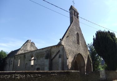
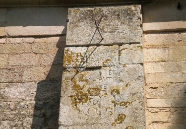
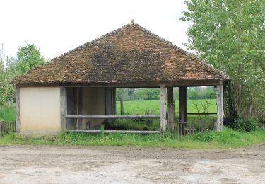
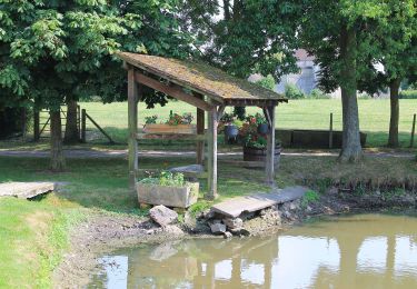
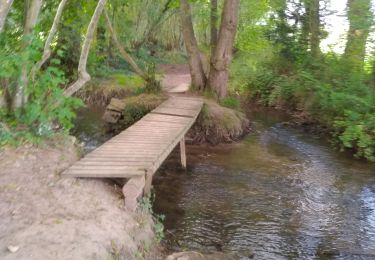
7,1 km | 7,9 km-effort
Potigny 12,6
papylou7
Gebruiker
Lengte
12,6 km
Max. hoogte
168 m
Positief hoogteverschil
194 m
Km-Effort
15,2 km
Min. hoogte
80 m
Negatief hoogteverschil
194 m
Boucle
Ja
Datum van aanmaak :
2023-09-16 06:56:54.0
Laatste wijziging :
2023-09-16 10:34:34.574
Gratisgps-wandelapplicatie
Over ons
Tocht van 12,6 km beschikbaar op Normandië, Calvados, Potigny. Deze tocht wordt voorgesteld door papylou7.
Plaatsbepaling
Land:
France
Regio :
Normandië
Departement/Provincie :
Calvados
Gemeente :
Potigny
Locatie:
Unknown
Vertrek:(Dec)
Vertrek:(UTM)
702038 ; 5427590 (30U) N.
Opmerkingen
Wandeltochten in de omgeving
Circuit des Pépinières
Te voet
Gemakkelijk
Villers-Canivet,
Normandië,
Calvados,
France
11,2 km | 12,8 km-effort
2h 54min
Neen
Circuit de la Brèche au Diable
Te voet
Gemakkelijk
Potigny,
Normandië,
Calvados,
France
11,9 km | 14,5 km-effort
3h 18min
Ja
Circuit de la Brèche au Diable
Te voet
Gemakkelijk
Potigny,
Normandië,
Calvados,
France
5,8 km | 7 km-effort
1h 35min
Ja
Circuit de Torp
Te voet
Gemakkelijk
Villers-Canivet,
Normandië,
Calvados,
France
10,6 km | 11,6 km-effort
2h 38min
Neen
Circuit des 4 Vents
Te voet
Medium
Épaney,
Normandië,
Calvados,
France
20 km | 23 km-effort
5h 16min
Ja
Rouvres
Stappen
Gemakkelijk
(2)
Rouvres,
Normandië,
Calvados,
France
10,5 km | 11,3 km-effort
2h 32min
Ja
Circuit du Lavoir
Te voet
Gemakkelijk
Épaney,
Normandië,
Calvados,
France
9,2 km | 10,4 km-effort
2h 21min
Ja
2020-09-10_14h10m14_la breche au diable
Te voet
Gemakkelijk
(1)
Soumont-Saint-Quentin,
Normandië,
Calvados,
France
9,1 km | 11,6 km-effort
Onbekend
Ja