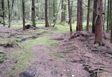
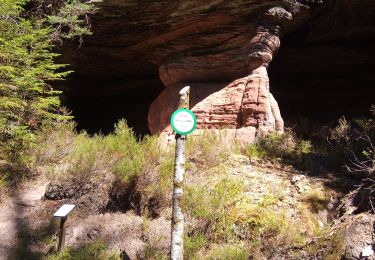
31 km | 42 km-effort
Mont Repos
Pascal Raon
Gebruiker
Lengte
10,8 km
Max. hoogte
523 m
Positief hoogteverschil
262 m
Km-Effort
14,3 km
Min. hoogte
393 m
Negatief hoogteverschil
256 m
Boucle
Ja
Datum van aanmaak :
2023-09-14 11:45:33.901
Laatste wijziging :
2023-09-14 15:35:38.851
3h49
Moeilijkheid : Moeilijk
Gratisgps-wandelapplicatie
Over ons
Tocht Stappen van 10,8 km beschikbaar op Grand Est, Vogezen, La Bourgonce. Deze tocht wordt voorgesteld door Pascal Raon.
Plaatsbepaling
Land:
France
Regio :
Grand Est
Departement/Provincie :
Vogezen
Gemeente :
La Bourgonce
Locatie:
Unknown
Vertrek:(Dec)
Vertrek:(UTM)
335573 ; 5350749 (32U) N.
Opmerkingen
Wandeltochten in de omgeving
sortie vtt du 07042019 la bourgonce
Mountainbike
Moeilijk
La Bourgonce,
Grand Est,
Vogezen,
France
2h 48min
Ja
vtt à Bourgonce 26 juin 2016
Mountainbike
Heel gemakkelijk
(2)
La Bourgonce,
Grand Est,
Vogezen,
France
31 km | 42 km-effort
3h 39min
Ja
Marmonfosse
Stappen
Medium
La Houssière,
Grand Est,
Vogezen,
France
15,4 km | 20 km-effort
4h 35min
Ja
Circuit du Grand Jumeau
Te voet
Gemakkelijk
Saint-Michel-sur-Meurthe,
Grand Est,
Vogezen,
France
3,7 km | 5,8 km-effort
1h 18min
Ja
rando des jumeaux 2016
Mountainbike
Moeilijk
La Bourgonce,
Grand Est,
Vogezen,
France
30 km | 41 km-effort
2h 39min
Ja
Orage sur la Mortagne (Autrey)
Stappen
Medium
Housseras,
Grand Est,
Vogezen,
France
7,9 km | 11 km-effort
2h 30min
Ja
la bourgonce
Stappen
Moeilijk
La Bourgonce,
Grand Est,
Vogezen,
France
11,2 km | 15,9 km-effort
3h 35min
Ja
cepes
Geocaching
Heel gemakkelijk
La Bourgonce,
Grand Est,
Vogezen,
France
10 km | 11,5 km-effort
1h 45min
Neen
170722
Mountainbike
Moeilijk
Bois-de-Champ,
Grand Est,
Vogezen,
France
22 km | 32 km-effort
3h 20min
Ja