


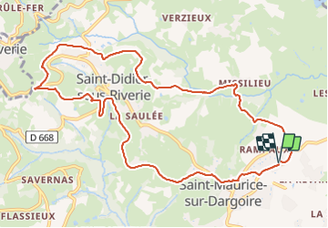

7,3 km | 9,5 km-effort

Gebruiker


Gratisgps-wandelapplicatie
 SityTrail
IGN / Geografische instituten
SityTrail World
De wereld gaat voor u open
Tocht Stappen van 11,6 km beschikbaar op Auvergne-Rhône-Alpes, Rhône, Chabanière. Deze tocht wordt voorgesteld door SyMA.
Départ parking prés de terrain de sport
boucle par St Didier sous Riverie
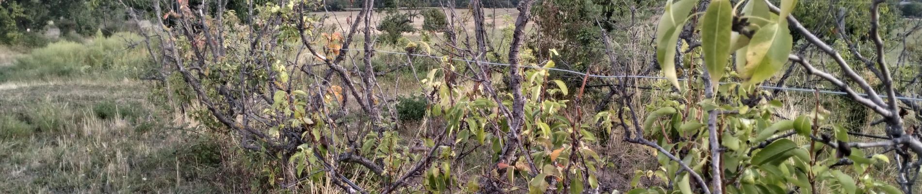
terrain facile mais peu d'ombre sur cette partie


Stappen

Stappen

Stappen

Stappen

Stappen

Stappen

Stappen
Stappen

Stappen