


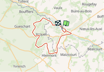

11,7 km | 13,7 km-effort
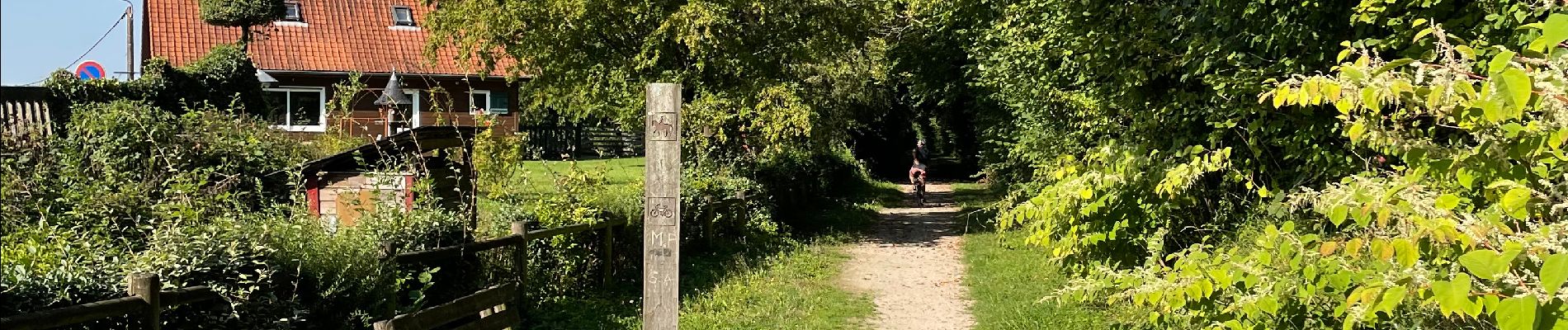

En pleine nature


Gratisgps-wandelapplicatie
 SityTrail
IGN / Geografische instituten
SityTrail World
De wereld gaat voor u open
Tocht Mountainbike van 26 km beschikbaar op Hauts-de-France, Pas-de-Calais, Auxi-le-Château. Deze tocht wordt voorgesteld door Sportiva France.
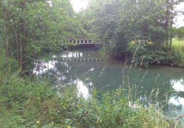
Belle balade de VTT dans la vallée d'Auxi-le-Château avec la traversée de l'ancienne voie ferrée de la gare SNCF.


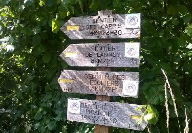
Stappen
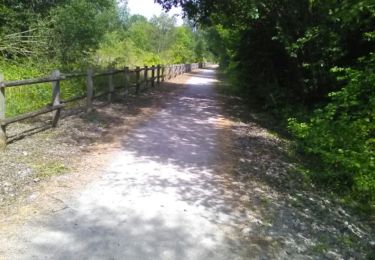
Stappen

Mountainbike

Stappen
Stappen
Stappen
Stappen
Stappen
Stappen