13,4 km | 19 km-effort
Mas Raynal
ARVIEU
Gebruiker
Lengte
14,2 km
Max. hoogte
836 m
Positief hoogteverschil
409 m
Km-Effort
19,6 km
Min. hoogte
548 m
Negatief hoogteverschil
409 m
Boucle
Ja
Datum van aanmaak :
2023-08-29 06:23:02.23
Laatste wijziging :
2023-08-29 06:25:12.029
4h30
Moeilijkheid : Medium
Gratisgps-wandelapplicatie
Over ons
Tocht Stappen van 14,2 km beschikbaar op Occitanië, Aveyron, Cornus. Deze tocht wordt voorgesteld door ARVIEU.
Beschrijving
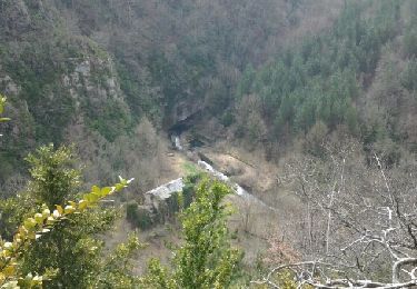
Mas Raynal, Les Aires, Sorgues, la Mouline, St Rome de Berlières, Négalières, Mas Raynal
Plaatsbepaling
Land:
France
Regio :
Occitanië
Departement/Provincie :
Aveyron
Gemeente :
Cornus
Locatie:
Unknown
Vertrek:(Dec)
Vertrek:(UTM)
517533 ; 4857683 (31T) N.
Opmerkingen
Wandeltochten in de omgeving
guilhaumard n 1 col de licous au col de licous
Stappen
Gemakkelijk
(2)
Cornus,
Occitanië,
Aveyron,
France
14 km | 16,6 km-effort
3h 44min
Ja
Randonnée du 07/06/2022 à 09:14
Te voet
Gemakkelijk
Les Rives,
Occitanië,
Hérault,
France
14,3 km | 17,1 km-effort
3h 53min
Ja
12348835-La salvetat aven de la peur
Stappen
Zeer moeilijk
(1)
La Couvertoirade,
Occitanië,
Aveyron,
France
18,7 km | 22 km-effort
5h 6min
Neen
Les Mas Raynal Bois de Véran
Stappen
Medium
Cornus,
Occitanië,
Aveyron,
France
19,3 km | 0 m-effort
6h 0min
Ja
Plateau de Guilhaumard Résurgence de la Sorgues
Stappen
Medium
Cornus,
Occitanië,
Aveyron,
France
18,5 km | 26 km-effort
6h 0min
Ja
Plateau de Guilhaumard La Sorgues
Stappen
Medium
Cornus,
Occitanië,
Aveyron,
France
16,8 km | 23 km-effort
5h 0min
Ja