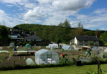
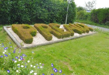
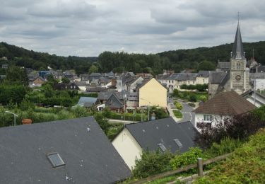
Tocht Stappen Quincampoix - Quincampoix-GD-10,4KM - Photo
 philippe76
philippe76

Gebruiker

© OpenStreetMap contributors
Lengte
Lengte
10,4 km
Max. hoogte
Max. hoogte
187 m
Positief hoogteverschil
99 m
Km-Effort
Km-Effort  
11,7 km
Min. hoogte
Min. hoogte
143 m
Negatief hoogteverschil
97 m
Boucle
Boucle
Ja
Datum van aanmaak :
2015-01-24 00:00:00.0
Laatste wijziging :
2015-01-24 00:00:00.0

(0 Bericht)

Stappen
Stappen
2h35
Moeilijkheid : Gemakkelijk

Scan deze QR-code om de tocht te openen in de SityTrail-applicatie

Gratisgps-wandelapplicatie

Logo SityTrail SityTrail

IGN / Geografische instituten

SityTrail uit de App Store downloaden SityTrail uit Google Play downloaden

Logo SityTrail SityTrail World

De wereld gaat voor u open

SityTrail uit de App Store downloaden SityTrail uit Google Play downloaden SityTrail op Huawei AppGallery downloaden

Over ons

Tocht Stappen van 10,4 km beschikbaar op Normandië, Seine-Maritime, Quincampoix. Deze tocht wordt voorgesteld door philippe76.

Beschrijving

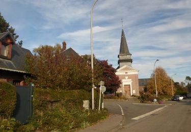
Départ de la Place de la Mairie à Quincampoix. AG rue du sud, TD jusqu'à la rue du Cailly, AD et passer Le Bosc de Cailly. ALT 170 AG vers le fond de Bray; traverser la D53, TD et AG Rte Fre de St Georges ou du Val sur le GR25C. Carrefour de la D90, prendre la rte Fre des vaux 2ème AG - GR25C. AG maison Fre de la Vendelette, rue des hauts Champs. AG rue aux Juifs; AD rue Maurice Ducatel, AG rue du Cailly,AG BTL 793, AD jusqu'à la sente des écoliers;
AD sente des écoliers, traverser la rue du Cailly, AG au stade impasse Eugène Cave. AD rue de La Bucaille, D53; arrivée à l'Eglise.

Hoogteprofiel

Plaatsbepaling

Land:
France
Regio :
Normandië
Departement/Provincie :
Seine-Maritime
Gemeente :
Quincampoix
Locatie:
Unknown
Vertrek:(Dec)
Vertrek:(UTM)
368684 ; 5487187 (31U) N.

Wandeltochten in de omgeving

Tocht Stappen Quincampoix - 076-29-Quincampoix 10km -496-626 - Photo
Stappen
rvs147

Stappen

Gemakkelijk
(1)
Quincampoix, Normandië, Seine-Maritime, France
9,9 km | 11,2 km-effort
2h 28min
Ja
Tocht Stappen Fontaine-le-Bourg - 20240504-Le Grand Tendos - Photo
Stappen
doudet

Stappen

Medium
Fontaine-le-Bourg, Normandië, Seine-Maritime, France
12,9 km | 16,3 km-effort
3h 50min
Ja
Tocht Stappen Préaux - 20240120-Preaux - Photo
Stappen
doudet

Stappen

Moeilijk
(1)
Préaux, Normandië, Seine-Maritime, France
12,7 km | 13,8 km-effort
3h 8min
Ja
Tocht Stappen Saint-Georges-sur-Fontaine - 20231123-St Geotges sur Fontaine - Photo
Stappen
doudet

Stappen

Medium
Saint-Georges-sur-Fontaine, Normandië, Seine-Maritime, France
11 km | 12,8 km-effort
3h 4min
Ja
Tocht Stappen Saint-Georges-sur-Fontaine - 20221015-St Geirges sur Fontaine - Photo
Stappen
doudet

Stappen

Medium
Saint-Georges-sur-Fontaine, Normandië, Seine-Maritime, France
11,1 km | 12,9 km-effort
3h 3min
Ja
Tocht Stappen Préaux - 20210817-Preaux - Photo
Stappen
doudet

Stappen

Medium
Préaux, Normandië, Seine-Maritime, France
13 km | 16,2 km-effort
3h 42min
Ja
Tocht Stappen Fontaine-le-Bourg - 20210805-fontaine-le-bourg - Photo
Stappen
doudet

Stappen

Heel gemakkelijk
Fontaine-le-Bourg, Normandië, Seine-Maritime, France
21 km | 26 km-effort
Onbekend
Ja
Tocht Stappen Saint-Georges-sur-Fontaine - 20150207 St Georges sur fontaine - Photo
Stappen
doudet

Stappen

Gemakkelijk
(1)
Saint-Georges-sur-Fontaine, Normandië, Seine-Maritime, France
13,1 km | 15,1 km-effort
3h 19min
Ja
Tocht Stappen Isneauville - Randoguide - Photo
Stappen
nadguy

Stappen

Heel gemakkelijk
(1)
Isneauville, Normandië, Seine-Maritime, France
16,1 km | 19,2 km-effort
2h 52min
Ja


Sluiten
Mijn abonnementen