


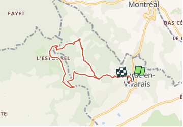

6,8 km | 9,3 km-effort


Gebruiker


Gratisgps-wandelapplicatie
 SityTrail
IGN / Geografische instituten
SityTrail World
De wereld gaat voor u open
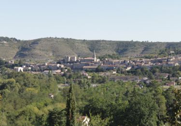
Tocht Stappen van 8,7 km beschikbaar op Auvergne-Rhône-Alpes, Ardèche, Laurac-en-Vivarais. Deze tocht wordt voorgesteld door enthalpie.
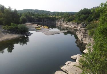
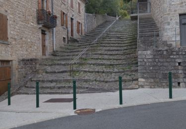
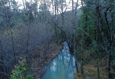
départ de Laurac visite des bords de la rivière du Blajoux
organisée par Laurent guide pour Cap france
Stappen

Noords wandelen
Stappen
Stappen
Stappen

Stappen
Stappen
Stappen
Wegfiets