


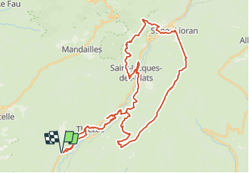

6,6 km | 10,5 km-effort


Gebruiker


Gratisgps-wandelapplicatie
 SityTrail
IGN / Geografische instituten
SityTrail World
De wereld gaat voor u open
Tocht Elektrische fiets van 54 km beschikbaar op Auvergne-Rhône-Alpes, Cantal, Thiézac. Deze tocht wordt voorgesteld door ra2000.

Stappen
Stappen
Te voet

Stappen

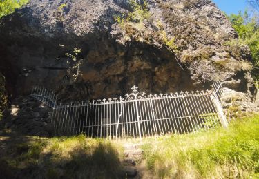
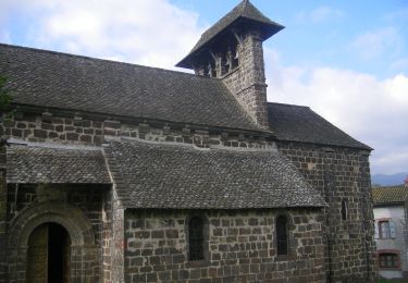
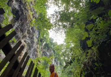
Trail
Stappen
Stappen
Stappen
Stappen