


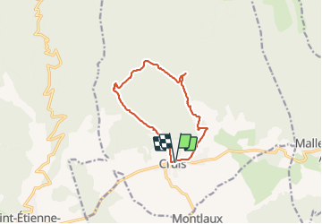

13 km | 19,9 km-effort

Gebruiker


Gratisgps-wandelapplicatie
 SityTrail
IGN / Geografische instituten
SityTrail World
De wereld gaat voor u open
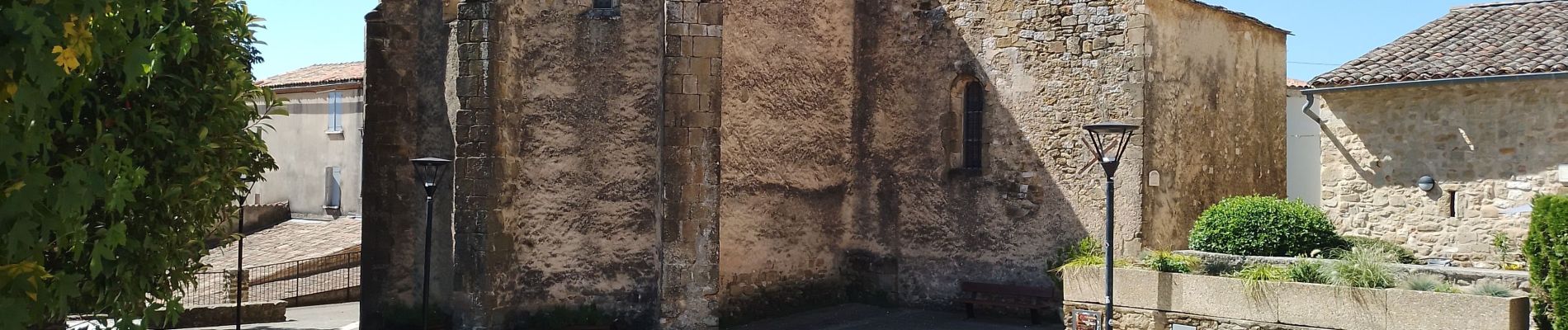
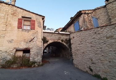
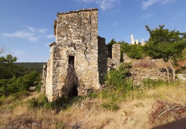
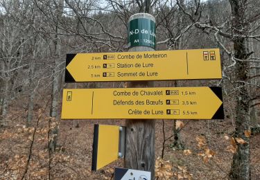
Tocht Stappen van 11,4 km beschikbaar op Provence-Alpes-Côte d'Azur, Alpes-de-Haute-Provence, Cruis. Deze tocht wordt voorgesteld door Roger .
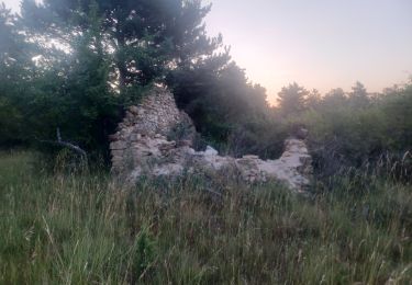
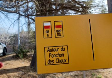
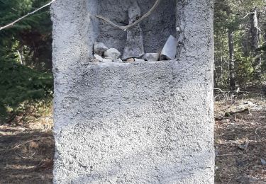
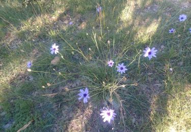
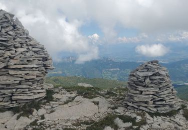
jas roche , derrives , de pierres feu , neuf . belle randonnée. attention ⚠️ au jas de roche on prend la piste , mais il faut la quitter tout de suite pour un sentier difficile à voir


Stappen
Stappen
Stappen
Stappen
Stappen
Stappen

Stappen
Stappen
Stappen