


3,5 km | 5,4 km-effort

Gebruiker


Gratisgps-wandelapplicatie
 SityTrail
IGN / Geografische instituten
SityTrail World
De wereld gaat voor u open
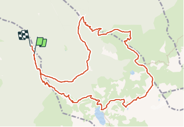
Tocht Stappen van 14,5 km beschikbaar op Auvergne-Rhône-Alpes, Isère, Revel. Deze tocht wordt voorgesteld door GuyVachet.
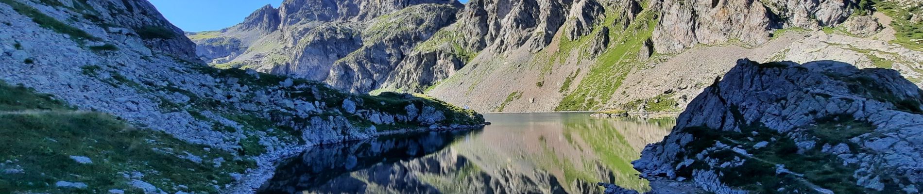
Départ de Pré Raymond, au-dessus des Granges de Freydière, en direction du lac du Crozet. Puis au lac, belle montée en direction du col du Loup avec au passage son lac. La descente du col traverse un pierrier qui offre une vue plongeante sur le La de la Grande Sitre et qui nous amène au col de la Sitre, puis passage au pied du Mont St-Mury et par le refuge du Pré du Molard. Retour par les 3 ruisseaux. Itinéraire varié et exigeant.


Te voet

Te voet
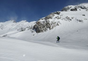
Sneeuwschoenen
Stappen

Stappen

Stappen

Stappen

Stappen

Stappen