


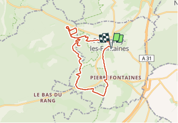

19,3 km | 24 km-effort

Gebruiker


Gratisgps-wandelapplicatie
 SityTrail
IGN / Geografische instituten
SityTrail World
De wereld gaat voor u open
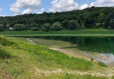
Tocht Stappen van 15,1 km beschikbaar op Grand Est, Haute-Marne, Perrogney-les-Fontaines. Deze tocht wordt voorgesteld door Nicole SIMONNET.


Fiets
Stappen

Mountainbike
Stappen

Mountainbike
Elektrische fiets
Mountainbike

Stappen
Stappen