


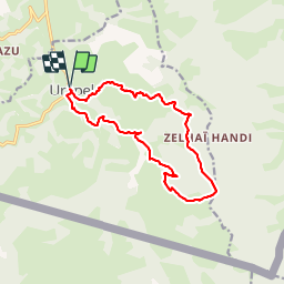

12,9 km | 21 km-effort


Gebruiker


Gratisgps-wandelapplicatie
 SityTrail
IGN / Geografische instituten
SityTrail World
De wereld gaat voor u open
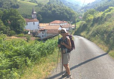
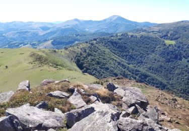
Tocht Stappen van 14,6 km beschikbaar op Nieuw-Aquitanië, Pyrénées-Atlantiques, Urepel. Deze tocht wordt voorgesteld door DECHAMPD.
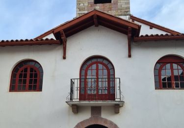
Parcours effectué le 8 janv 2015. depuis Urepel, Gai¨neko Carrica Preoskoene, Madaria,col d'Hauzay, Harriondoko Kaskoa, Harriondoa, Etcholakatoren, Cristobalénéa, Lassaénéa, Franchichénéa
Stappen
Te voet
Stappen
Stappen
Stappen
Stappen
Stappen
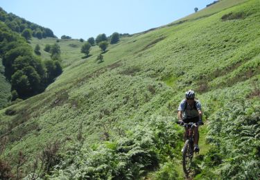
Mountainbike
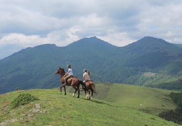
Paard