


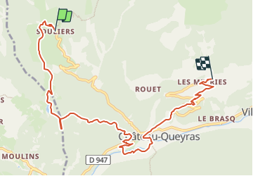

11,7 km | 19,7 km-effort


Gebruiker


Gratisgps-wandelapplicatie
 SityTrail
IGN / Geografische instituten
SityTrail World
De wereld gaat voor u open
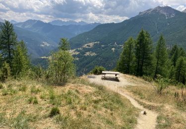
Tocht Paardrijden van 9,6 km beschikbaar op Provence-Alpes-Côte d'Azur, Hautes-Alpes, Château-Ville-Vieille. Deze tocht wordt voorgesteld door AnaisLambert.
Piste de Péas et chemin de Canal Neuf interdits à la circulation

Stappen

Stappen
Via ferrata

Mountainbike

Stappen

Andere activiteiten
Stappen
Sneeuwschoenen
Stappen