


10,3 km | 11,5 km-effort

Gebruiker GUIDE


Gratisgps-wandelapplicatie
 SityTrail
IGN / Geografische instituten
SityTrail World
De wereld gaat voor u open
Tocht Stappen van 14,9 km beschikbaar op Centre-Val de Loire, Indre-et-Loire, La Ferrière. Deze tocht wordt voorgesteld door Orcal37.
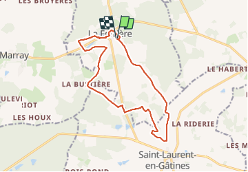
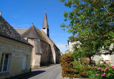
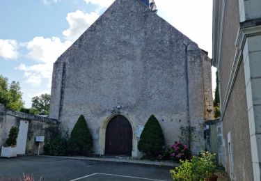
la Ferrière - PRs jusqu'au lieu nommé le Moulin à Vent à Saint-Laurent-en-Gâtines puis retour par une petite route - 14.9km 115m 3h20 (30mn) - 2023 07 30
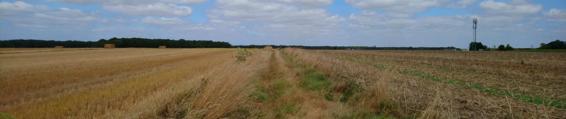
 - 2023 07 30 - Photo 1")
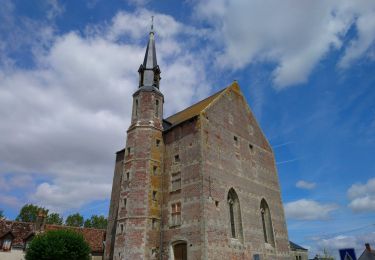
 - 2023 07 30 - Photo 2")
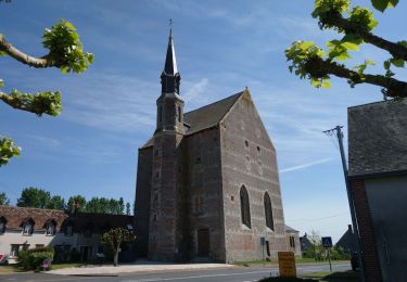
 - 2023 07 30 - Photo 3")
 - 2023 07 30 - Photo 4")
 - 2023 07 30 - Photo 5")
Stappen
Stappen
Stappen

Stappen

Stappen
Stappen

Stappen

Stappen

Stappen