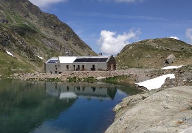
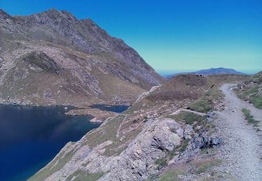
5,4 km | 8,8 km-effort
Pic de la Montagnette
OUSSET
Gebruiker
Lengte
16,5 km
Max. hoogte
2511 m
Positief hoogteverschil
1296 m
Km-Effort
34 km
Min. hoogte
1378 m
Negatief hoogteverschil
1293 m
Boucle
Ja
Datum van aanmaak :
2023-07-23 06:00:06.222
Laatste wijziging :
2023-07-26 21:11:24.266
5h57
Moeilijkheid : Medium
Gratisgps-wandelapplicatie
Over ons
Tocht Stappen van 16,5 km beschikbaar op Occitanië, Haute-Garonne, Bagnères-de-Luchon. Deze tocht wordt voorgesteld door OUSSET.
Plaatsbepaling
Land:
France
Regio :
Occitanië
Departement/Provincie :
Haute-Garonne
Gemeente :
Bagnères-de-Luchon
Locatie:
Unknown
Vertrek:(Dec)
Vertrek:(UTM)
307880 ; 4732556 (31T) N.
Opmerkingen
Wandeltochten in de omgeving
2022-06-28_22h13m18_chemin_de_l'impératrice_entre_l'hospice_de_france_
Stappen
Medium
(1)
Bagnères-de-Luchon,
Occitanië,
Haute-Garonne,
France
2h 0min
Neen
SityTrail - pic de Sauvegarde
Te voet
Moeilijk
Bagnères-de-Luchon,
Occitanië,
Haute-Garonne,
France
8,5 km | 22 km-effort
8h 0min
Neen
Boucle du Col des Aranais par le Trou du Toro
Stappen
Medium
(1)
Vielha e Mijaran,
Catalonië,
Lerida,
Spain
14,1 km | 31 km-effort
7h 30min
Ja
pic de Sauvegarde
Stappen
Medium
(2)
Bagnères-de-Luchon,
Occitanië,
Haute-Garonne,
France
9,7 km | 25 km-effort
3h 9min
Neen
Pic de Pouylané - Entecade - Hospice de France
Stappen
Moeilijk
(1)
Bagnères-de-Luchon,
Occitanië,
Haute-Garonne,
France
10,6 km | 24 km-effort
5h 39min
Ja
retour du Port de Venasque à l'Hospice de France
Stappen
Moeilijk
Bagnères-de-Luchon,
Occitanië,
Haute-Garonne,
France
8,4 km | 14,3 km-effort
3h 14min
Neen
boums du Port de Venasque
Stappen
Zeer moeilijk
Bagnères-de-Luchon,
Occitanië,
Haute-Garonne,
France
10,7 km | 23 km-effort
5h 6min
Ja
l'Entecade en boucle depuis l'hospice de France
Stappen
Medium
Bagnères-de-Luchon,
Occitanië,
Haute-Garonne,
France
12,2 km | 26 km-effort
6h 36min
Neen
Refuge et Port de Vénasque
Te voet
Gemakkelijk
Bagnères-de-Luchon,
Occitanië,
Haute-Garonne,
France
6,3 km | 16,9 km-effort
3h 50min
Neen